Lightning Online Map Service in a World of Complex and Frustrating Data Handling

Take advantage of a 14-day free trial to check out our new online map service for PlanetSAT 10m basemap and PlanetDEM 30m data.

Lightning Online Map Service in a World of Complex and Frustrating Data Handling

Online map services for GIS users

GIS users live in a world of complexity, due to highly sophisticated software and a large diversity of data sources to choose from. Consequently, time and money are lost every day in the industry. This is due to the current computational power and internet speeds. Even though it is still much better than a couple of years ago, it is still not enough for satellite imagery (especially global basemaps) download times. To download a non-compressed global basemap, users will be looking at long download times. Let’s not forget, that imagery maps need to get updated to always have the latest data constantly. Furthermore, we cannot forget the storage cost of a 14 Terabyte map. So… how can GIS users cut this slack?

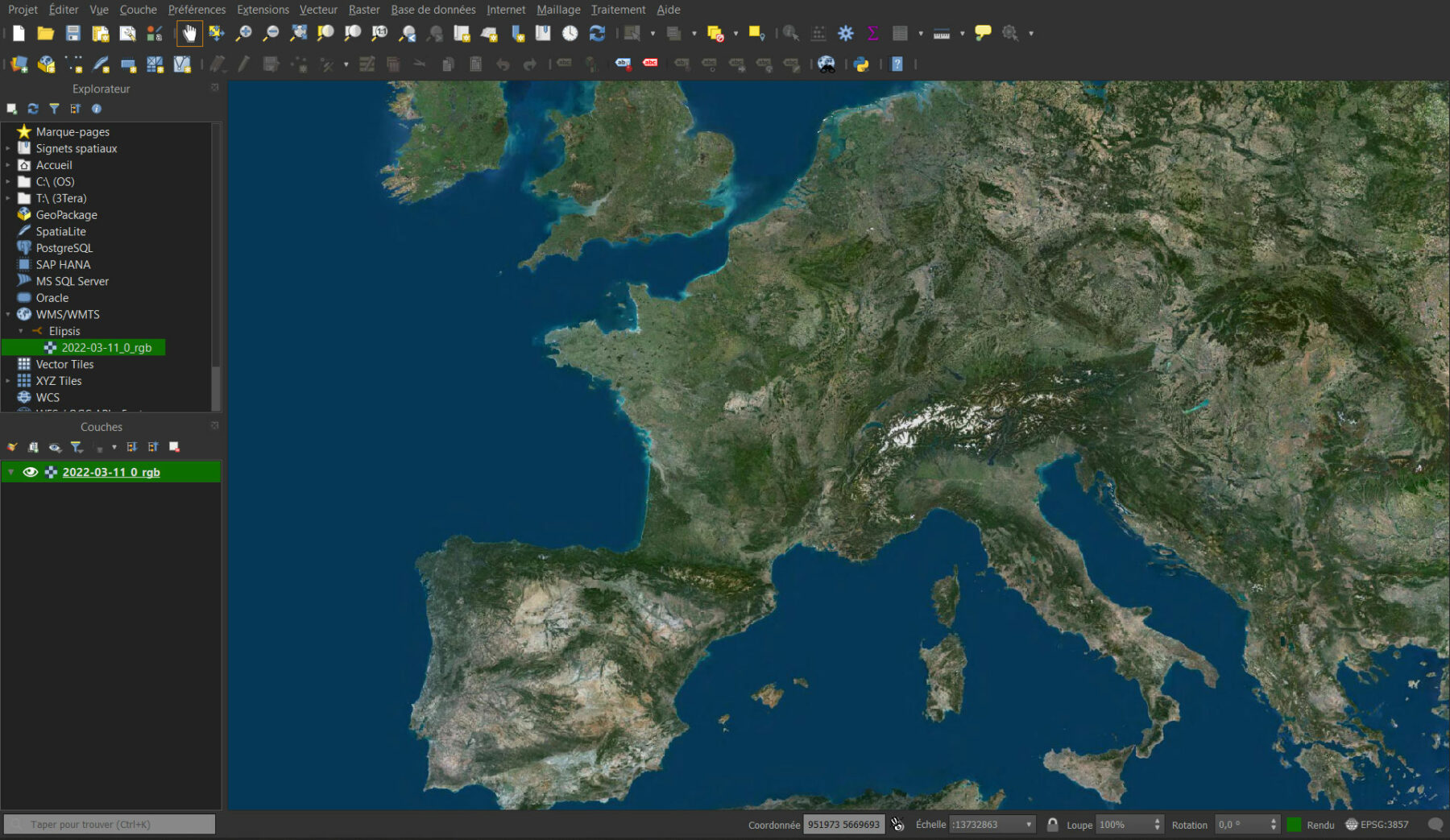
A solution is to get a powerful computer and an amazing download speed… However, this turns out to be expensive. After exploring many different possibilities, PlanetObserver has determined the best and least time-consuming solution for GIS users to stream the maps. The only thing the user must do is connect the WMTS or WMS to their GIS solution.

New online map service launch

PlanetObserver is now launching a very requested online map service for all GIS users tired of waiting, overpaying, and stocking geospatial data. This service is not as expensive as getting imagery in a regular fashion, and most importantly, gets updated constantly without the user having to make any changes, look for the right imagery, or having to process the imagery.

This service has been made utilizing Ellipsis Drive, a company in the geospatial industry that according to the Chief Operating Officer of the Open Geospatial Consortium, Scott Simmons “is the best technological execution of leveraging OGC standards to seamlessly integrate geospatial content into any department, organization or workflow”. This changes the whole geospatial ecosystem because of how easy it becomes to get your geospatial content into a GIS solution.  

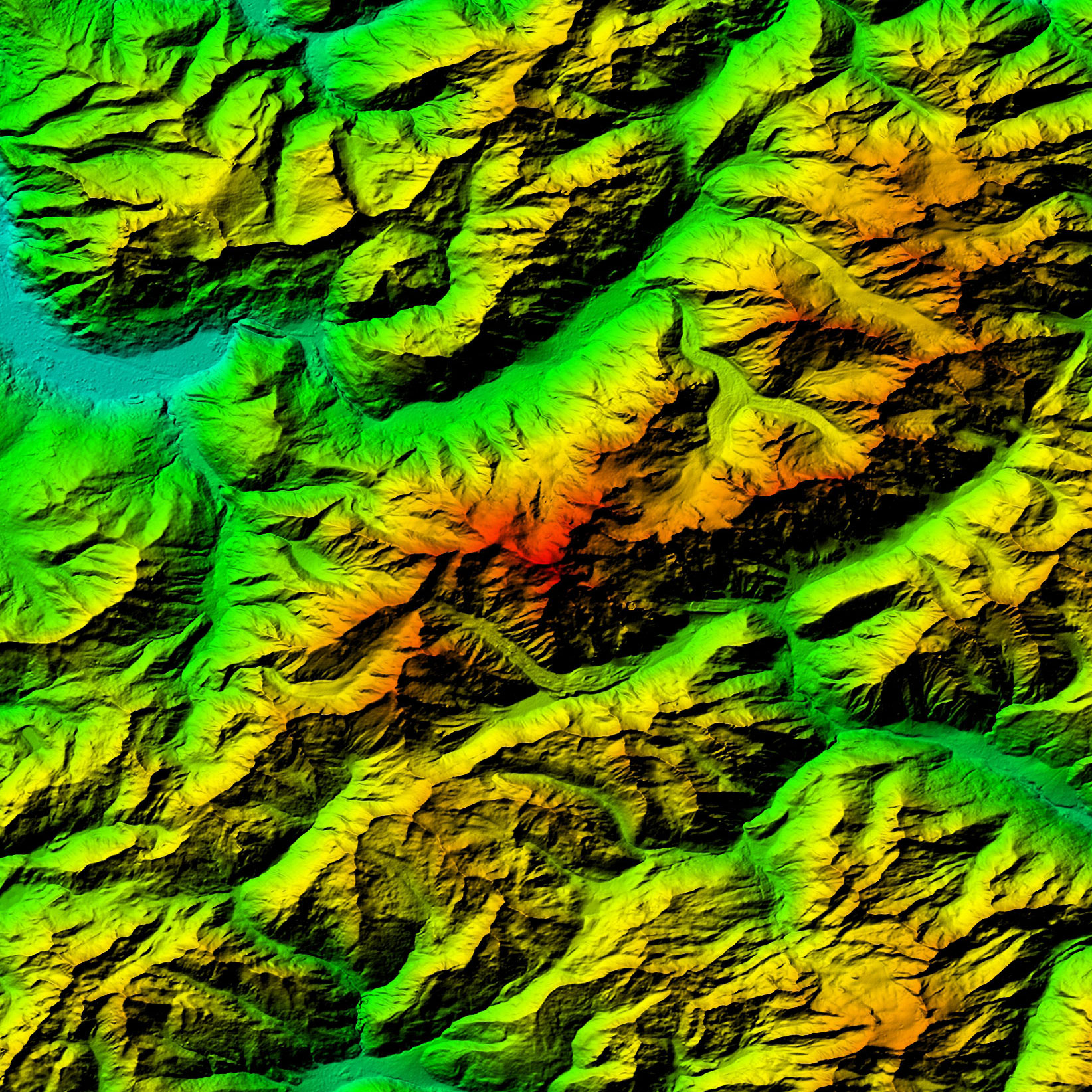
PlanetDEM 30 Global Dataset

PlanetObserver is now offering its two main datasets: PlanetSAT Global 10m basemap and PlanetDEM 30m Digital Surface Model. Each of these is billed the same way. Even if they are both sold separately, they could get used together to make 3D maps. Also, since they are both global products, there is no need to make things complex by using various sources for imagery and elevation data. Both products will answer most of every GIS user’s needs.

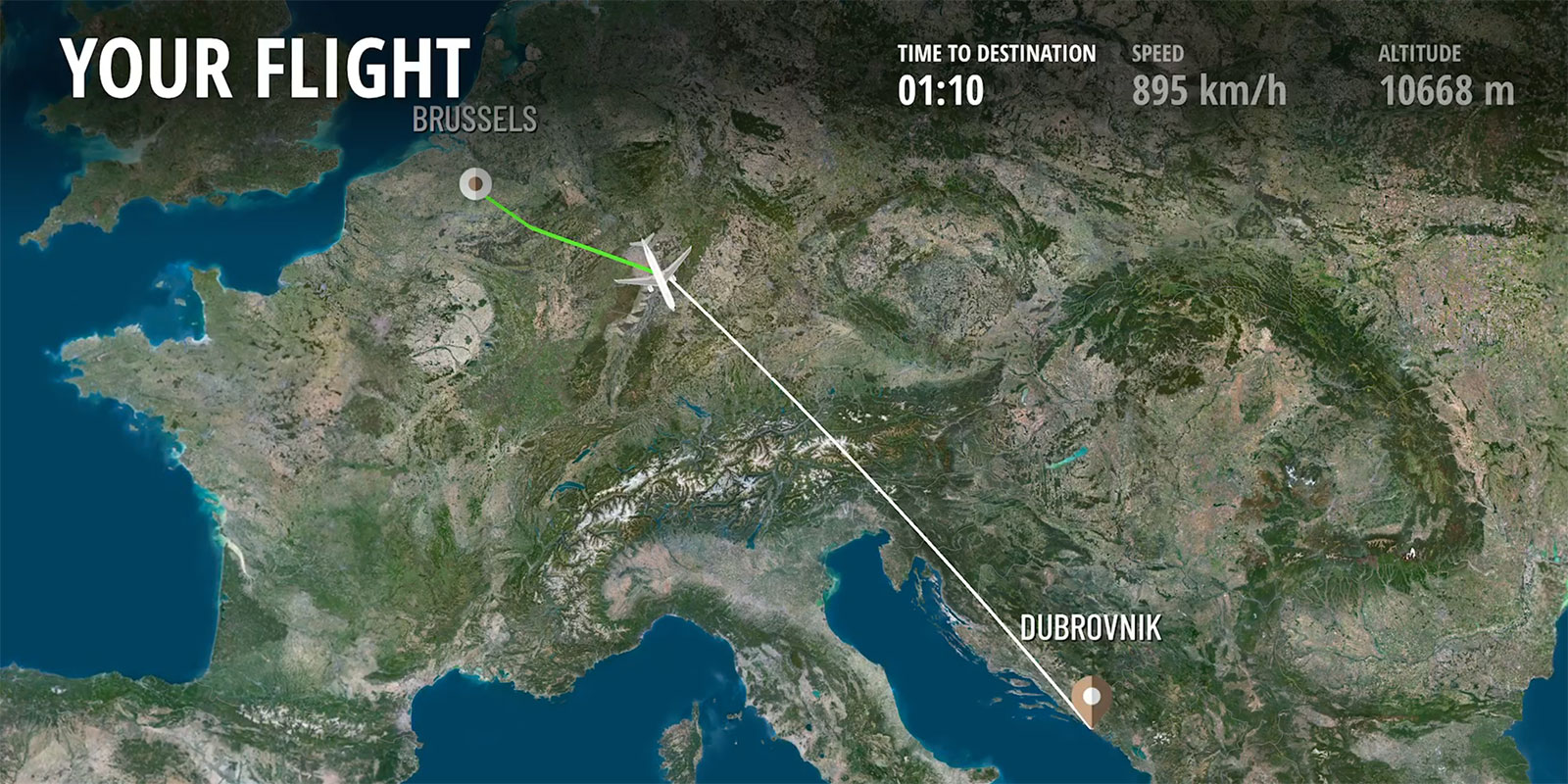
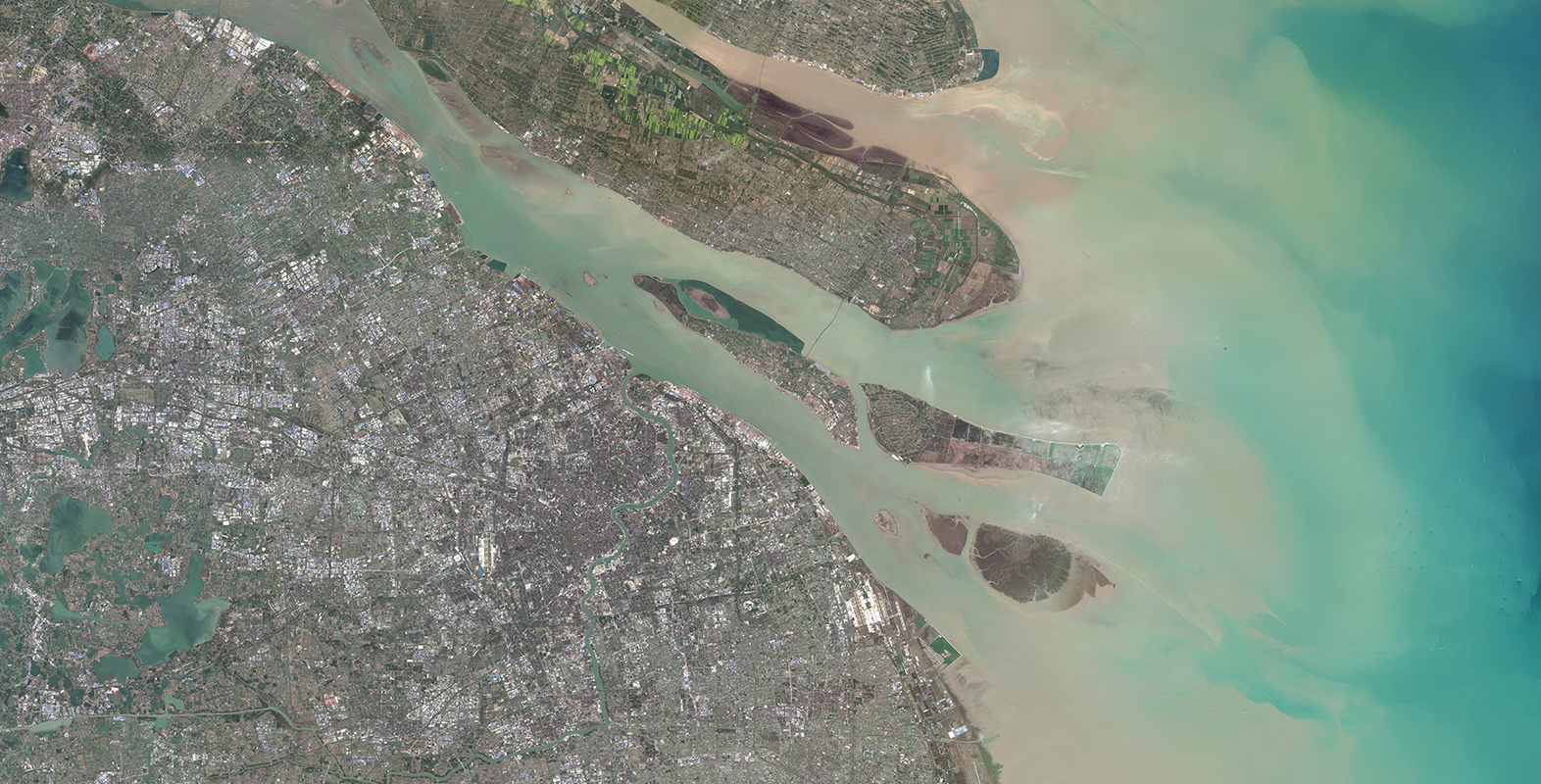
As many know, PlanetSAT Global 10m basemap is an asset for some of the biggest companies in the industry. Some of them are Thales, Airbus, Boeing, and Dassault Aviation. So, why have they trusted PlanetObserver and its products to carry out their projects? This is because at PlanetObserver the most important parts of the image processing are carried out by geography experts who can completely understand a terrain by looking at imagery. Therefore, noticing any problems in the imagery and quickly repairing the existing artefacts. As a result, net, cloudless, seamless, and homogeneous satellite imagery is produced for the entire world.

Moreover, PlanetDEM 30m elevation dataset is also crucial for helping decision-making in different industries like land mapping, oil and gas, and energy and defense. Power your solutions with reliable elevation data offering complete pole-to-pole coverage of all emerged land, perfect for all your operations, wherever they are located.

PlanetSAT 10m imagery basemap

Free 14-day trial for everyone

Finally, we set up a 14-day free trial in which all users will be able to experience smooth mapping. What users need to do is fill up a standard information form to access the trial and get started with our amazing maps! For more information click here.