


.jpg)

.png)
Our Resources

Optimize and enrich your projects with performing and ready-to-use global imagery and elevation data
Get in TouchHigh Quality Satellite Imagery and Geospatial Data for Professionals
They Trust Us


About us
Your Geospatial Data Experts
We thrive to develop innovative geospatial products that maximize the visual and technological performances of our clients’ projects and solutions in the Defense, Aerospace, Mapping and GIS sectors.
Our products & services
Military standard
for all use cases

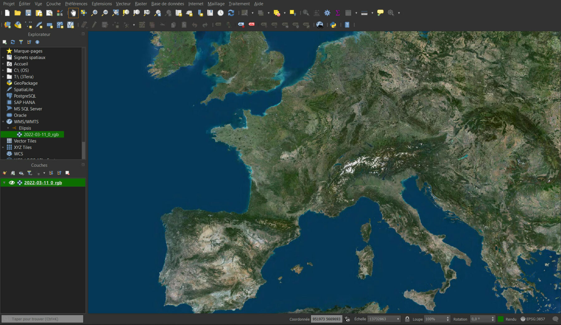
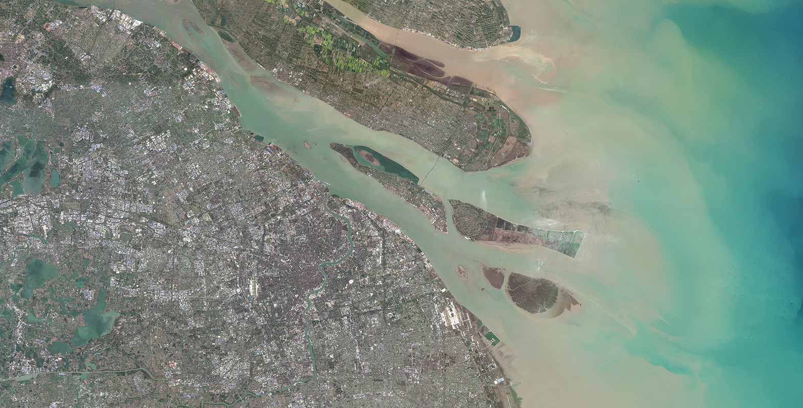
PlanetSAT
Power your visualization & simulation solutions, GIS tools and mapping platforms with a visually stunning and up-to-date 10-meter imagery basemap.

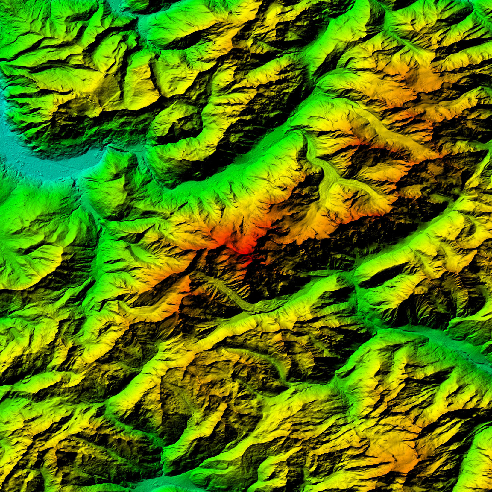
PlanetDEM
Rely on trusted global 30-meter and 90-meter elevation data for civil and military mapping and simulation solutions.

VHR Imagery
Take advantage of detailed and precise very high resolution imagery up to 30cm for any area on Earth.
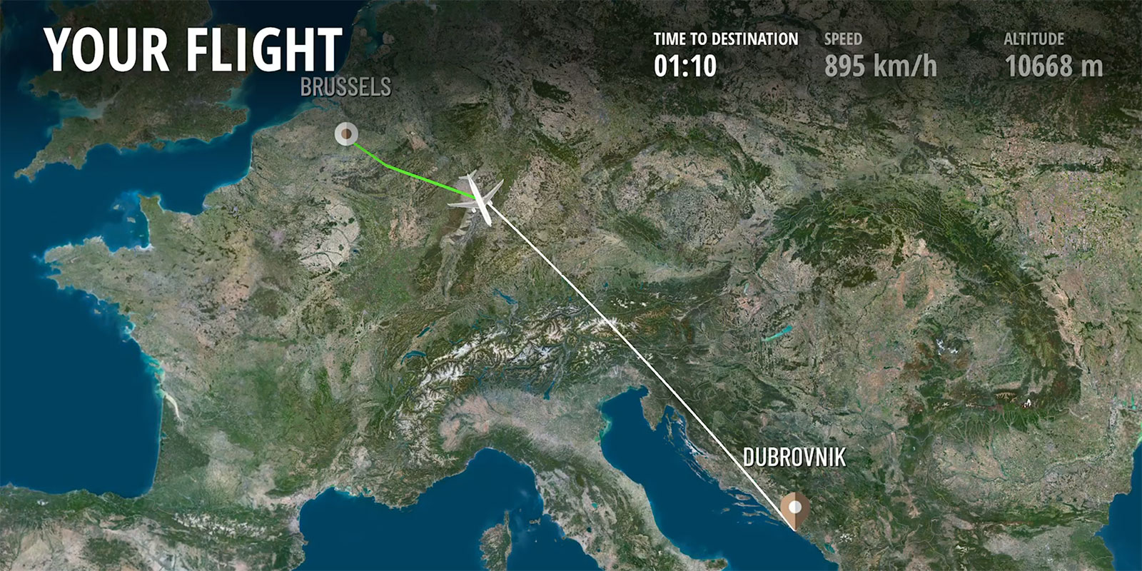
Online Map Services
Access high quality and up-to-date global imagery and elevation datasets via efficient web mapping services and API.
Improve your project and solution performances
Get a non-binding quote within 24 hours


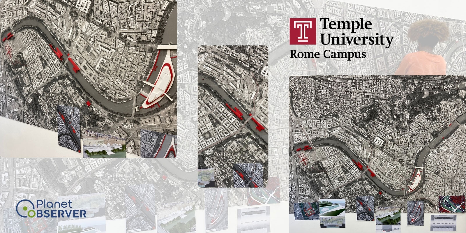
Case Studies
Browse some of our past successful case studies
Why PlanetOBserver
Why working with us?
With over 30 years in the mapping industry, PlanetObserver has proved to produce top quality geospatial data, and customer satisfaction.
Get in Touch
Our process
A simple, yet effective three step process

1. Discovery
Urna nunc id cursus metus aliquam eleifend mi in nulla augue lacus viverra vitae congue dolor sit.

2. Planning
Urna nunc id cursus metus aliquam eleifend mi in nulla augue lacus viverra vitae congue dolor sit.

3. Execution
Urna nunc id cursus metus aliquam eleifend mi in nulla augue lacus viverra vitae congue dolor sit.
Testimonials
Hear what our amazing customers say

"We have successfully updated the Airbus OneAtlas Basemap with PlanetSAT Global imagery mosaic. It must be said that it has surpassed our expectations. We really like the enhancements that the medium resolution imagery layer has brought to OneAtlas Basemap services in terms of global overview and the more homogenous transition from lower to higher zoom levels. Their product has really improved the user experience."
Nicolas Vernon
Product Manager OneAtlas Basemap, Airbus DS
"We selected PlanetObserver global imagery basemap to create a new virtual World Data Base for Thales Full Flight Simulators. The product met our main criteria which were: enhanced color quality of the imagery, up-to-date data, and standard formats ready-to-use in our solutions."
Muriel Amouroux-Fousse
Manager, Thales Training & Simulation
