


Your Geospatial
Data Provider
PlanetObserver
Mapping the Earth, Revealing Possibilities
Our mission
At PlanetObserver, we are a dedicated geospatial data provider with over 35 years of expertise in satellite imagery and elevation data. Our mission — Mapping the Earth, Revealing Possibilities — reflects our belief that high-quality visual and geographic data can open up new ways of understanding, communicating, and acting on the world around us.

35+ Years of Geospatial Expertise
Our story
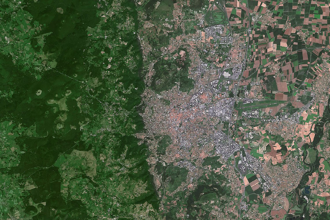
Since 1989, PlanetObserver has made satellite imagery more accessible and visually impactful. Our first project — a natural-color mosaic of the Auvergne Region, France — marked the start of a journey to open up Earth observation to a wider audience.
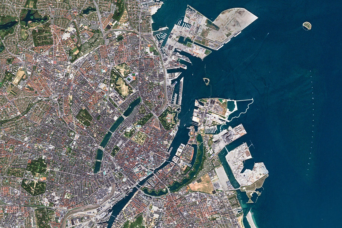
Today, we provide in-house global imagery and elevation data to power mapping and storytelling across industries. Whether you’re looking to visualize landscapes, develop applications, or tell a story, PlanetObserver is your trusted partner in revealing the full potential of the planet from above.
Your Trusted Geospatial Data Partner
Our commitment
At PlanetObserver, we are recognized as a dependable geospatial data provider, trusted by clients around the world. Our commitment is built on responsiveness, flexibility, and a deep understanding of each client’s specific needs.
We offer personalized service, fast turnaround times, and high-quality geospatial data produced in-house. Our long-term partnerships with leading organizations — including Thales, Dassault Aviation, and L3Harris — reflect the confidence they place in our expertise, reliability, and commitment to quality.
Meet the Team

Laurent
Founder and CEO

Marie-Pierre
Sales & Marketing Director

Pierre
Technical Director
Bruno
Graphic Designer
Our Values
Expertise
With over 35 years of experience, we combine technical know-how and deep industry insight to deliver high-quality, reliable geospatial data.
Flexibility
We adapt to each client’s specific needs with personalized support, responsive communication, and tailored data solutions.
Reliability
Our clients trust us to deliver accurate, ready-to-use geospatial data on time—every time.
Responsiveness
We’re known for our quick turnaround, close client relationships, and ability to move fast without compromising quality.
Proven Performance Around the World
A trusted name in geospatial data since 1989.
Projects delivered globally across five continents.
Organizations across industries rely on PlanetObserver for high-quality geospatial data.
Consistently rated highly for reliability, service, and support.
Our Ecosystem
Supported by Connect by CNES to develop innovative products and services using space technologies and solutions.

Member of Aerospace Valley Competitiveness Cluster dedicated to the Aeronautics and Space industry.
Eureka Label awarded by the European Union, it is the highest European honour in Research and Development.
Member of « La French Tech » network gathering French startups and innovative SMEs.
They trust us
Let's talk
Ready to enhance your project with high-quality geospatial data?
Talk to our team to get started.
