


Microsoft AI for Earth uses PlanetDEM Geospatial Data
Discover how Microsoft’s AI for Earth program leverages PlanetDEM geospatial data to support environmental research, improve sustainability projects, and enhance Earth observation capabilities.

Key benefits
Geospatial processing workflows supported using 30m elevation data.
Clean terrain representation ensured through void filled DEM.
Large scale analysis enabled via global coverage consistency.
Products used
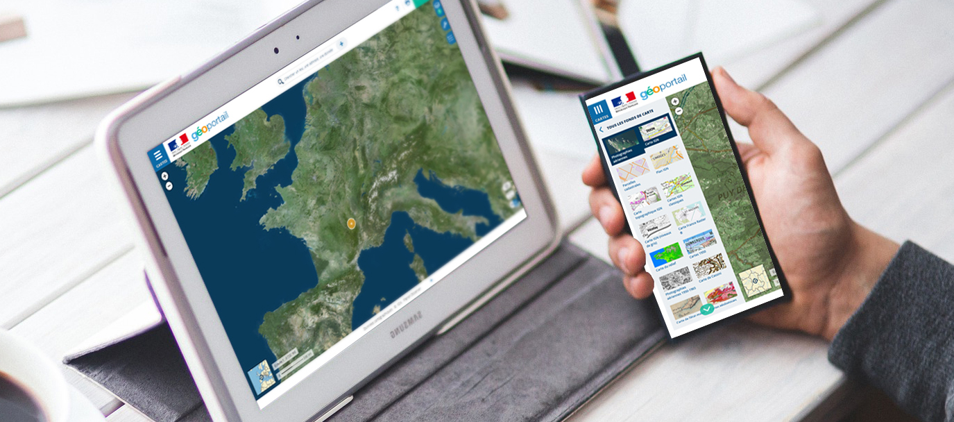
THE CLIENT - Microsoft
Artificial Intelligence (AI) is a hot topic across many industries. The adoption of AI has grown dramatically over the past years. Therefore, many organisations now rush to integrate and deploy AI methodologies in their core business practices and workflows.
Artificial Intelligence also largely applies to the geospatial industry. For example, GIS functions, geospatial data processing and analysis algorithms increasingly incorporate AI technology,
Microsoft is totally involved both in AI and in the geopatial industry. For one of its AI programs, Microsoft has chosen PlanetDEM global 30m elevation product to perform geospatial data processing.
THE CHALLENGE - AI and the Geospatial Industry
The AI for Earth program offered by Microsoft includes an open data program that hosts key geospatial and conservation datasets on the AI for Earth cloud. To enhance the open data catalog, Microsoft’s team is working on processing global atmospherically corrected Landsat and Sentinel imagery archives, for which they were in need of a high-quality global elevation dataset.
However, selecting a quality global elevation dataset can be a challenging task, as there are many options available in the market, each with their own unique features and limitations. One of the main challenges faced by Microsoft was finding a dataset that was accurate, up-to-date, and consistent across different regions of the world. The dataset also had to meet Microsoft’s requirements for resolution, coverage, and format.
Another challenge was to find a dataset that was publicly available or could be licensed at an affordable price. Many commercial datasets are prohibitively expensive for many organizations, including for non-profit organizations like AI for Earth.
To overcome these challenges, Microsoft had to conduct extensive research and evaluation of various datasets. They had to compare the features and limitations of each dataset, and assess their accuracy, completeness, and consistency. They also had to consider the licensing terms and pricing of each dataset, and the level of technical support offered by the vendors.
THE SOLUTION - PlanetDEM Elevation Data Used by Microsoft AI for Earth
In the end, Microsoft was able to find a dataset that met all of its requirements for accuracy, completeness, and consistency. They chose PlanetDEM 30m global elevation product by PlanetObserver. This dataset was publicly available and had an affordable licensing cost. With this high-quality global elevation dataset, Microsoft was able to perform geospatial data processing and satellite imagery orthorectification, which helped to support its mission of using AI for Earth for environmental conservation and sustainable development.
PlanetDEM global 30m elevation dataset is a great fit for Microsoft’s AI for Earth program. It provides enhanced high-quality global elevation data at the global scale. The data is also enhanced, void-filled, and corrected, providing organizations with the most accurate and reliable data. With a resolution of 30m, PlanetDEM allows for a highly detailed and accurate representation of the Earth’s surface.
THE BENEFITS - Reliable Elevation Data With Global Coverage
By implementing PlanetDEM 30m global elevation product, Microsoft got the following benefits:
1. High-quality elevation data: PlanetDEM dataset provides accurate representation of the Earth’s surface, essential for a wide range of applications including satellite imagery orthorectification.
2. Enhanced, artefact-free, and corrected elevation data: The product offers enhanced, void-filled, and corrected elevation data at 30m resolution, with global coverage, making it a trusted and most accurate product.
3. Global coverage: Ideal solution for global analysis.
4. Proven track record: PlanetDEM is already used by the European Space Agency, Thales, and Dassault Aviation, among others.
5. Expertise: PlanetObserver is dedicated to helping companies and organizations with all their projects and offers 30 years of technological expertise in the geospatial data processing.
Discover more Customer Success Stories
Let's talk
Ready to enhance your project with high-quality geospatial data? Talk to our team to get started.
