


How PlanetSAT Satellite Imagery Enhances
a Dutch Govermental Mapping Platform
Learn how PlanetSAT satellite imagery enhances a Dutch governmental mapping platform, providing accurate, up-to-date, and visually detailed basemaps for national geospatial applications.
Key benefits
Accurate mapping insights enabled through comprehensive global coverage.
Data relevance maintained via annual imagery updates.
Usability and interpretation improved through clear visual rendering.
Products used
THE CLIENT - Ministry of the Interior and Kingdom Relations of the Netherlands
The Ministry of the Interior and Kingdom Relations (Dutch: Ministerie van Binnenlandse Zaken en Koninkrijksrelaties) is a governmental body of the Netherlands responsible for several important functions related to the internal affairs of the country. Its primary role is to ensure that the government functions effectively, that the Dutch citizens are protected, and that the constitutional and legal order is maintained.
The Ministry is responsible for a broad range of policy areas, including public safety, security, immigration, civil service, and local governance. It also oversees the relationship between the Netherlands and its constituent countries in the Caribbean: Aruba, Curaçao, and Sint Maarten.
Lastly, the Ministry also plays a crucial role in ensuring the stability and functioning of Dutch society, and its work is essential to maintaining the rule of law and democratic principles in the country.
THE CHALLENGE - How can the Ministry Enhance their Internal Mapping Platform ?
The Ministry of Internal Affairs of the Netherlands was faced with the challenge of enhancing their internal mapping platform with a new world satellite imagery basemap. This issue was encountered because their mapping platform lacked a comprehensive global view, which limited their ability to make informed decisions and respond effectively to emergencies.
To address this challenge, the ministry needed to incorporate a world imagery layer that provides high-quality, up-to-date satellite imagery of the entire world. This would enable them to have a more accurate and complete understanding of the situation on the ground, allowing them to better plan and coordinate their efforts. Additionally, the world satellite imagery would facilitate collaboration with other countries and organizations, which is essential for effective response to global challenges
THE SOLUTION - PlanetSAT World Satellite Imagery: Meeting the Ministry of Internal Affairs of the Netherlands' Needs
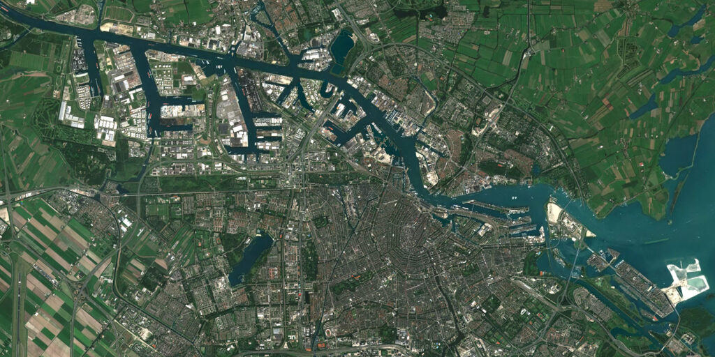
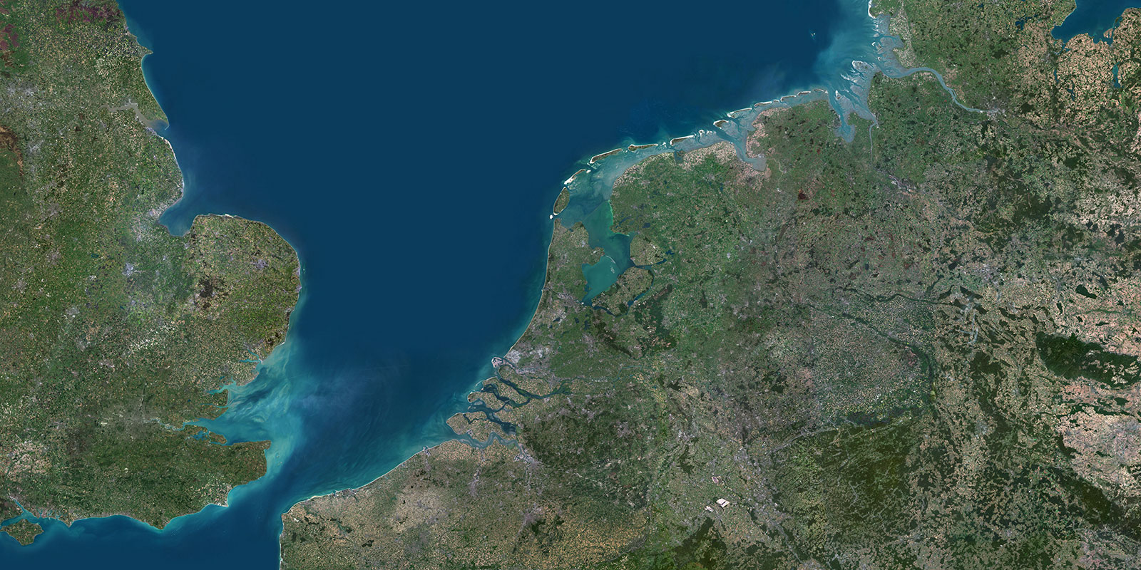
The solution provided by PlanetObserver, which is PlanetSAT world imagery layer at 10-meter resolution, met the needs of the Ministry of Internal Affairs of the Netherlands for several reasons.
First, the imagery layer is global in scope, providing the Ministry with a comprehensive view of the world. This is essential for their decision-making and emergency response efforts, as they need to be able to quickly access accurate information about any location in the world.
Second, PlanetSAT world satellite imagery is updated every year, ensuring that the data is current and relevant. This enables the Ministry to stay up-to-date on any changes that may affect their operations.
Third, the world imagery layer is a seamless natural color basemap, which means that it is easy to interpret and use. This is critical for the Ministry, as they need to be able to quickly analyze the data and make informed decisions.
THE BENEFITS - A User-Friendly Solution
Integrating PlanetSAT world satellite imagery into the mapping platform of the Dutch Ministry can bring several benefits, including:
1. Global view of the world: PlanetSAT world satellite imagery provides a comprehensive and accurate global view of the world. This is essential to be able to quickly access accurate information about any location in the world.
2. Up-to-date data: Every year, a new updated version of the world imagery is made available to ensure that the imagery remains current and relevant.
3. User-friendly: PlanetSAT is a seamless world imagery basemap providing vibrant colors of the Earth. The images are therefore easily comprehensible.
Discover more Customer Success Stories
Let's talk
Ready to enhance your project with high-quality geospatial data? Talk to our team to get started.
