


PlanetSAT World Satellite Map Enhances the French Geoportal
Discover how the PlanetSAT World satellite map enhances the French Geoportal by delivering high-quality, up-to-date imagery that improves national mapping, visualization, and public geospatial services.
Key benefits
Geoportal user experience enhanced using global satellite imagery.
Worldwide consistency ensured through uniform visual layer.
Advanced GIS analysis supported via expanded data coverage.
Products used
THE CLIENT - National Institute of Geographic and Forest Information (IGN)
The mission of the French National Mapping Agency (IGN) is to produce, maintain and provide open-source geographical information covering France and its overseas departments and territories with data such as:
- Aerial photography
- Geographical databases and maps (topographic maps, road maps, etc.)
- Satellite Imagery
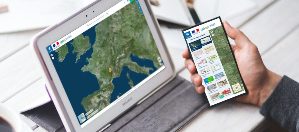
IGN Geoportal is a comprehensive free-to-use web mapping service that is largely used in France. On top of that, this mapping platform is offered to professionals, including local authorities, and can be integrated into their GIS tools via API.
How does the French Geoportal differentiate from Google Maps:
- Comprehensive map options are available: road maps, administrative maps, topographic maps, cadastral and building surveys, public service utility maps, transportation maps, hydrographic maps, atmospheric and weather maps, geological maps, land use maps, maps of cultural sites, etc.
- Unusual cartographic sources are also accessible.
- All maps and aerial photography may be combined and viewed in transparent layers controlled by the user.
- Aerial photography generally has a higher resolution than what is available in Google Maps.
THE CHALLENGE - The Need of a Realistic World Satellite Map to Compliment the French Geoportal
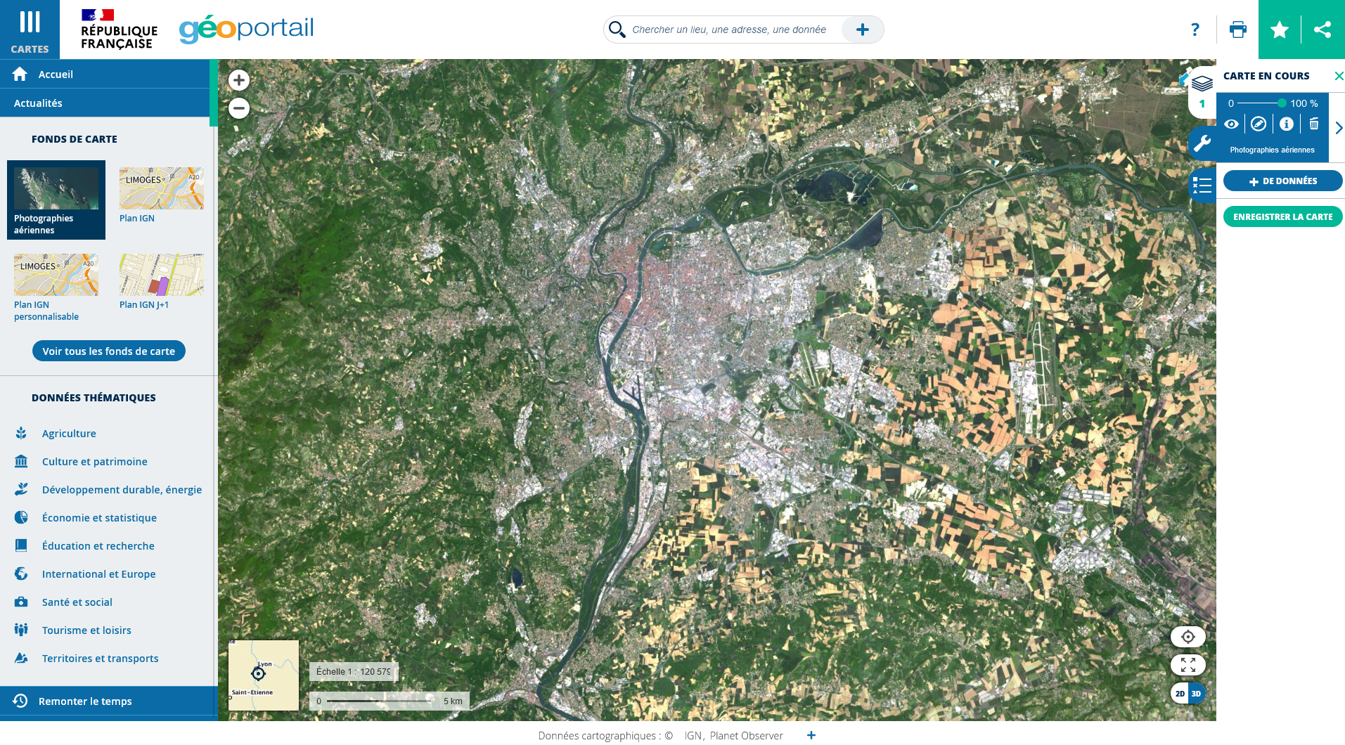
The IGN recognized the growing demand for more comprehensive satellite imagery beyond the borders of France, in order to provide better services and user experiences for its local and regional authority partners as well as individuals. Covering the global environment in the French Geoportal was identified as a crucial aspect. To meet this need, IGN recognized the importance of integrating a world satellite map that would offer a consistent color balance similar to that of aerial photography.
THE SOLUTION - A Color-Balanced and Enhanced World Satellite Map
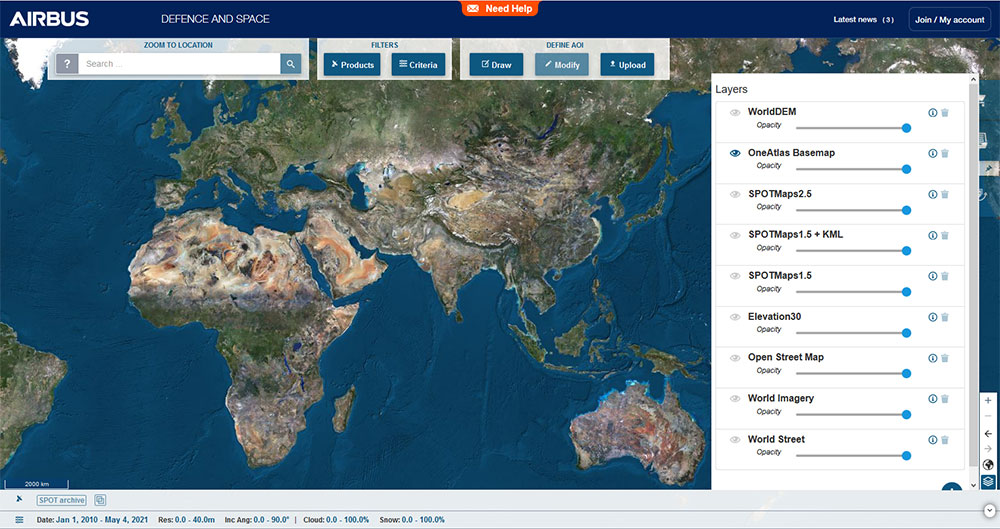
The French Mapping Agency trusted PlanetObserver’s team and PlanetSAT imagery product because of its 30-year expertise in satellite imagery processing. Also, PlanetObserver’s products have been tested and validated by the biggest enterprises in key industries, such as Airbus in the geospatial sector and Thales, and Dassault Aviation in the defense vertical.
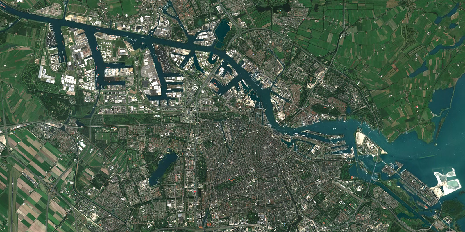
PlanetSAT world satellite map got hand-picked because the visual quality of this satellite imagery enhanced product is top-notch. Having 99% of the world with no clouds and no artefacts met the expectations of the institution.
Furthermore, PlanetSAT is a 10m resolution world basemap. This resolution is perfect when combined with other types of data, such as the aerial imagery that the IGN utilizes in their solution.
At PlanetObserver, it is possible for clients to demand custom requests. For this case, IGN asked for a change of projection and a special color balancing for the integration to be seamless with their aerial photography map of France. This adaptability is unique because it is not a simple process and requires true collaboration.
Lastly, the flexible licensing model PlanetObserver offered was unbeatable and completely adapted to the IGN’s needs.
THE BENEFITS - Improved User Experience in the French Geoportal
Integrating PlanetSAT world satellite map into the French Geoportal can bring several benefits, including:
1. A Realistic User Experience: By integrating PlanetSAT world map, the Geoportal mapping platform offers access to up-to-date imagery, rich in geographical context, allowing users to easily understand the areas they are interested in.
2. Consistent satellite imagery layer: PlanetSAT world satellite map provides a consistent view of the Earth’s surface, which means that users can access maps that have a uniform look and feel, regardless of the location.
3. Cross-bordered information: Users get access to not only satellite imagery covering France, but also to the whole world at the same resolution.
4. Added value for GIS Users: PlanetSAT’s world imagery layer offers professional users more comprehensive geographic information, by adding global context not previously provided by aerial photography.
5. Navigation and Travel: Individuals benefit from the French Geoportal’s detailed maps and satellite imagery to plan travel routes and navigate more accurately.
Let's talk
Ready to enhance your project with high-quality geospatial data? Talk to our team to get started.
