


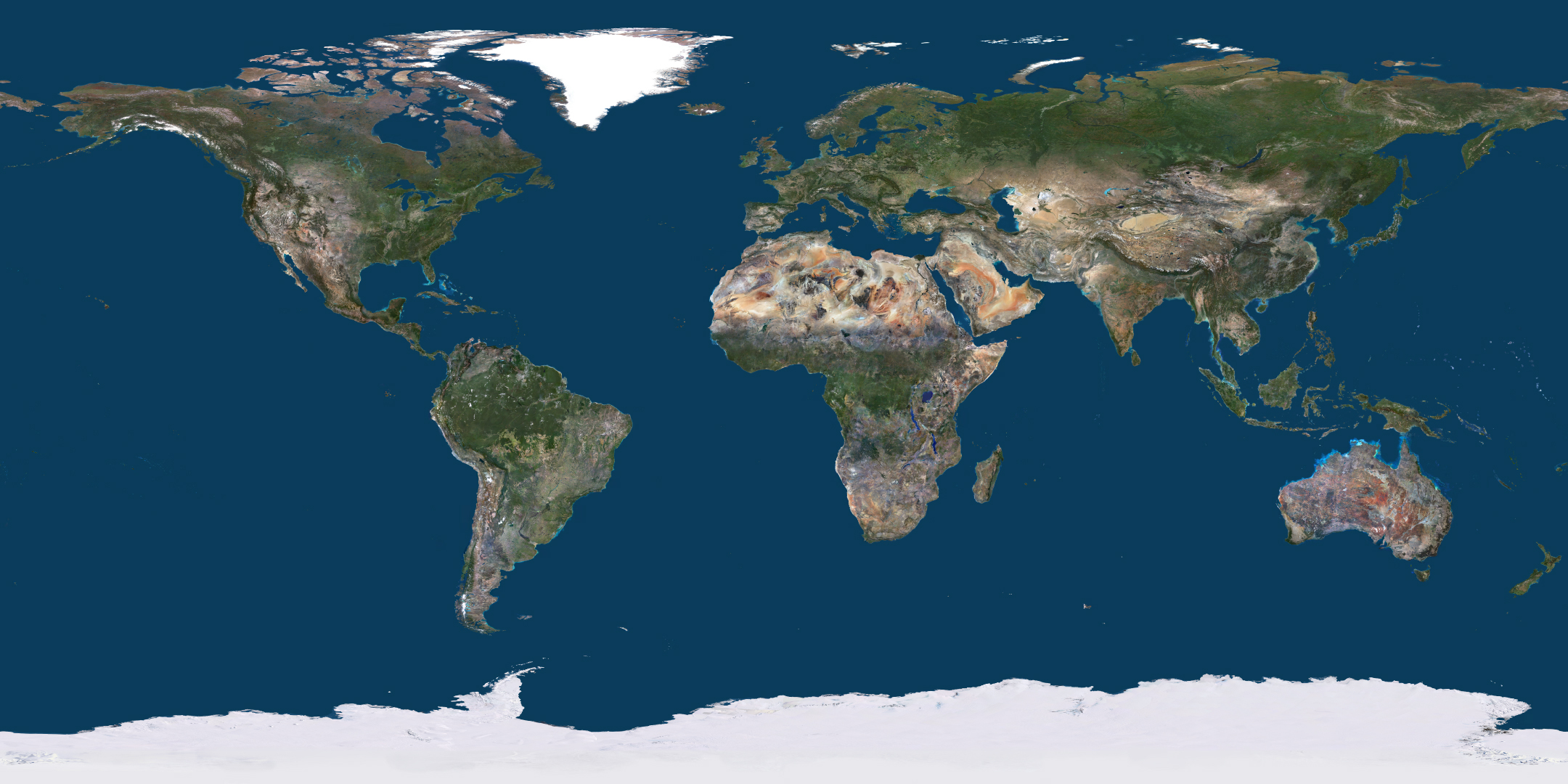
Behind the Global Basemap: How PlanetSAT 2026 is Built
Every year the world changes. Every year PlanetSAT changes with it.
The Earth does not sit still. Cities expand overnight. Forests disappear. Coastlines shift. Every year, the PlanetSAT global basemap that professionals rely on gets a little more outdated. At PlanetObserver, one team spends the entire year making sure that does not happen. This is what that looks like.
A Decision That Shapes What the World Looks Like
The process starts with a conversation. Before any data is downloaded, before any imagery is processed, the technical team and the sales team sit together and ask one question: what do our clients need this year?
Client needs are the starting point for every decision. The regions that matter most to the professionals using PlanetSAT are the first ones to be addressed. From there, the team considers geographic relevance and the vintage of the imagery already in the basemap. The developing regions get priority. But the client always comes first.
That conversation determines what thousands of professionals will see when they open their GIS platforms, their flight simulators, their mapping tools. It determines which regions get fresher global satellite images and which ones wait another year.
It is that sense of responsibility, applied consistently over decades, that PlanetObserver’s CEO believes defines the company.
Every decision in the production of PlanetSAT is made by experts who understand both the science and the craft behind it. That is something no automated pipeline can replicate, and it is what our clients feel when they see the final product.
Laurent, CEO, PlanetObserver
Racing Against the Seasons to Refresh the Global Basemap
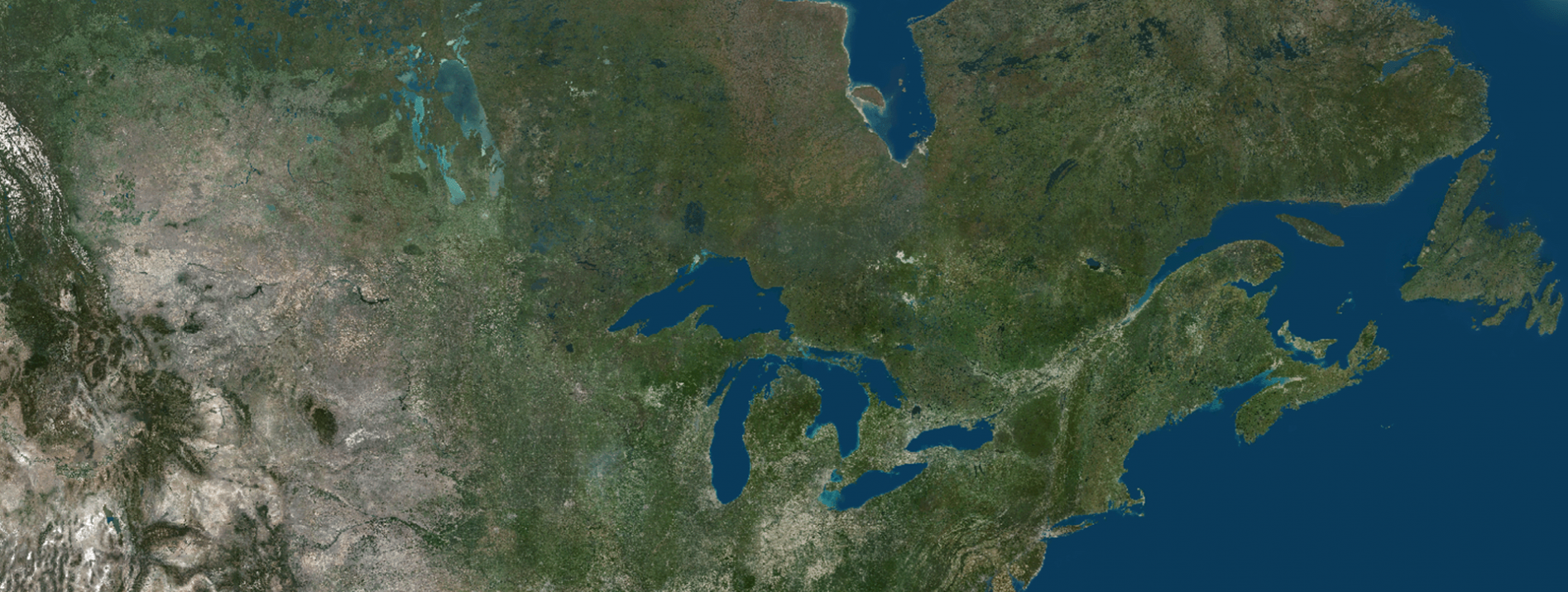
The 2026 edition brought a particular challenge. This year, the team focused heavily on northern regions. Canada and Siberia were among the biggest updates.
These regions have a problem that most people never think about. The satellite images of those regions are only usable for a few weeks each year. A narrow window in summer when the skies are clear and the ground is free of snow. Outside that window, the imagery is unusable. Too much cloud cover. Too much snow. The colors are wrong. The detail is lost.
Miss that window and you wait another year.
That made image selection the defining challenge of 2026. The technical team had to monitor satellite acquisition schedules closely. They had to move quickly when clear conditions appeared over the right areas. There was no second chance. The pressure of working within nature’s own deadlines is something that never fully goes away, no matter how experienced the team becomes.
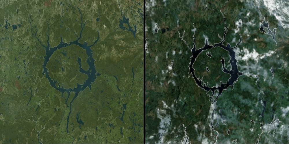
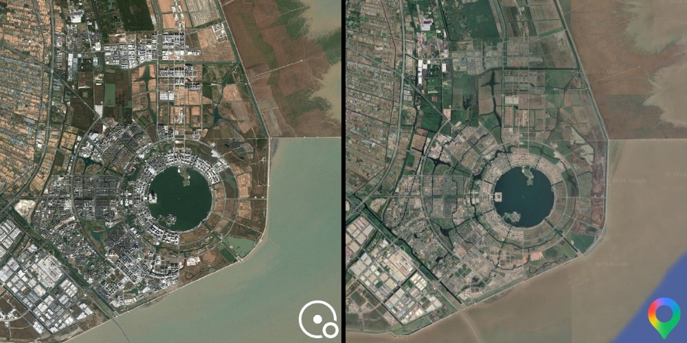
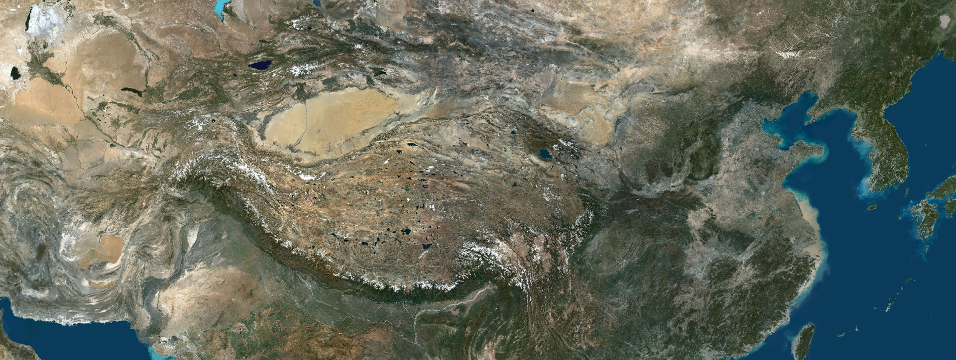
But the northern regions were only part of the story. The 2026 global basemap update spans 50 million square kilometers, with refreshed imagery across Russia, Central Asia, China, Canada, the Middle East, and France. Each region came with its own constraints. The vast steppes of Central Asia, the dense urban growth across China, the rapidly developing areas of the Middle East, and European coverage centered on France all required different approaches and different timing. Over 120 major cities worldwide were also refreshed, giving professionals across defense, aerospace, and mapping the local detail they depend on.
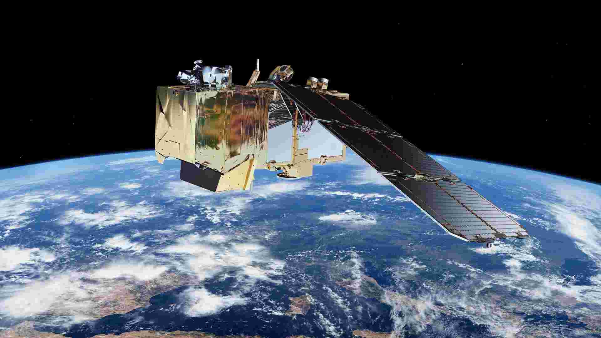
The Tool That Changed Everything: Sentinel-2
For years, PlanetSAT was built using imagery from American Landsat satellites. In 2018, that changed. The team made a decisive shift to Sentinel-2, part of the European Space Agency’s Copernicus program. They have not looked back.
The reasons are clear. Sentinel-2 delivers imagery at 10-meter resolution, sharper and more detailed than what Landsat offered. But the bigger advantage is frequency. With three Sentinel-2 satellites now in orbit, the constellation revisits any point on Earth in under five days. For regions like northern Canada or Central Asia, where usable conditions are rare and fleeting, that faster revisit rate makes all the difference. More passes mean more chances to capture the clear, cloud-free global satellite images the basemap demands.
The Art of Making the Global Basemap Look Right
When asked about color consistency, our Technical Director is straightforward about one thing: it cannot be summarized in a few words.
That is not modesty. It is the truth. Color balancing across a global mosaic is one of the hardest problems in satellite imagery production. Every scene comes from a different moment in time. Different sun angles. Different atmospheric conditions. Different seasons. Stitched together without care, the seams between tiles are visible as sudden shifts in color and brightness. A forest that is green on one side of a boundary and grey on the other. A coastline that changes tone mid-frame.
Making those seams invisible takes skill that has been built over years. It is graphic design work as much as it is data processing. The team adjusts, compares, corrects, and checks again. There is no algorithm that does this reliably. There is no shortcut. There is only the practiced eye of people who have spent years learning what good global satellite images look like, and the patience to get it right.
This is what clients notice without knowing why. The imagery just looks right. Natural. Consistent. Like the world viewed from above on a perfect day, everywhere at once.
Clients are often surprised by how natural and consistent our imagery looks across such different regions of the world. That reaction never gets old for us.
Marie-Pierre, Sales & Marketing Director, PlanetObserver
The Scale Behind Every Pixel
It is easy to underestimate what global coverage requires. The numbers help put it in perspective.
For every gigabyte of imagery in the final PlanetSAT product, the team processes an average of 40 gigabytes of raw data. Scene selection, atmospheric correction, color harmonization, quality checks, all of it happens before a single tile makes it into the basemap. The volume is immense. Technical problems arise. They always do at this scale. The team catches them through checks built into every stage of the processing pipeline.
And the timeline? The answer from our Technical Director is straightforward. The team spends the entire year building the next version of PlanetSAT. There is no off season. The moment one version ships, work on the next one begins.
Experience it Yourself
PlanetObserver’s interactive world viewer gives anyone free access to the full PlanetSAT 2026 basemap at 10-meter resolution.
To explore the viewer click here.
Free sample data is also available prior to purchase, allowing integration teams to verify compatibility with their platforms and workflows before making any decisions.
Let's talk
Ready to enhance your project with high-quality geospatial data?
Talk to our team to get started.
