


PlanetSAT Earth Observation Data: Built for Professionals
PlanetSAT is used across multiple industries in over 50 countries. Here is what they use it for and why they trust it.
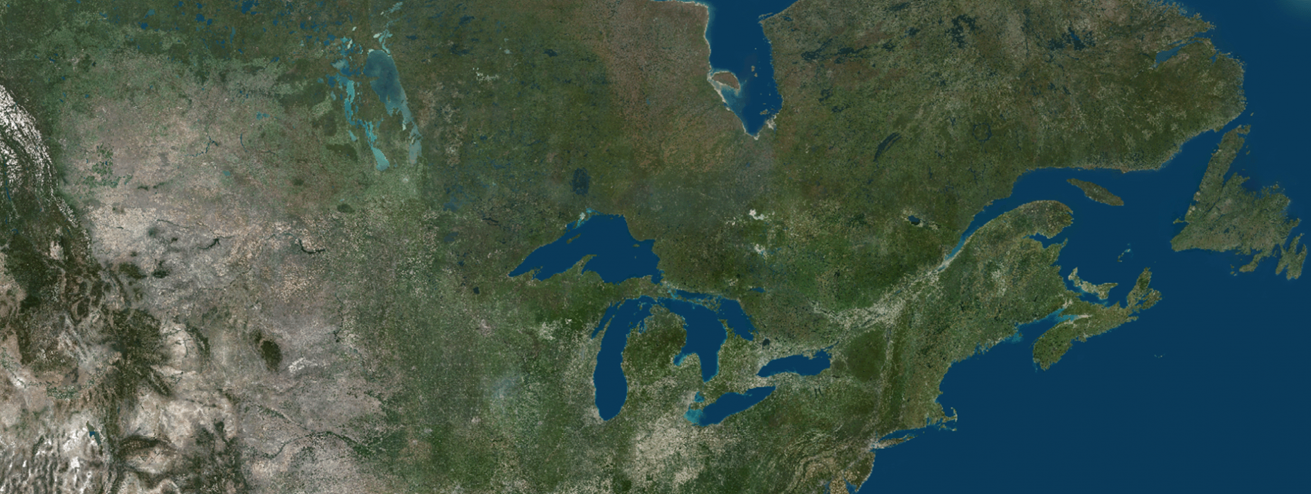
Why Earth Observation Data Matters More Than You Think
Most people who use a mapping platform, a flight simulator or a weather broadcast application never think about the imagery layer underneath. It is just there. Seamless, consistent and accurate. But that invisibility is earned and not given in our Earth observation data.
The quality of the earth observation data at the foundation of any professional application has a direct impact on everything built on top of it. An inconsistent basemap breaks the visual realism of a simulation environment. A poorly processed one makes broadcast graphics look unconvincing. The imagery layer is not decoration. It is infrastructure.
PlanetSAT is built to be that infrastructure. Annually updated, color balanced and validated by a team that has been processing global satellite imagery since 1989. Here is how it is being used across four professional sectors today.
Defence & Intelligence: Earth Observation Data at Operational Scale
In defence and intelligence, Command and control systems depend on basemap imagery to provide spatial context for large scale operational planning. Mission planning tools use it to visualize the operation. Navigation and situational awareness solutions rely on it to orient operators in the field.
PlanetSAT’s seamless global coverage at 10-meter resolution and 1:50,000 mapping scale provides the macro visualization capability that operational analysis requires. Its annual update cycle ensures that the imagery reflects the current state of key regions. Its consistent color balance means that professionals can trust what they see, wherever they are looking on the map.
For organizations where accuracy is not a preference but a requirement, PlanetSAT provides earth observation data they can build on with confidence.
Defence clients have very specific requirements, they need imagery that is accurate, current and consistent on a global scale. That is exactly what PlanetSAT is built to deliver. The trust our clients place in us, year after year, is what drives us to keep raising the standard.
Marie-Pierre Boutin, Sales & Marketing Director, PlanetObserver

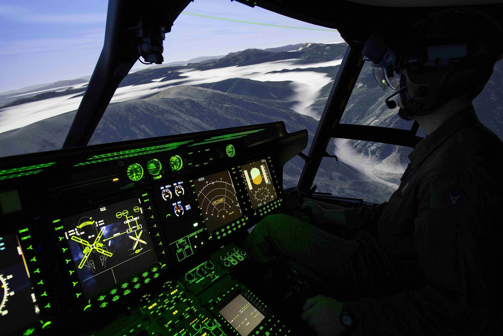
Aerospace: When Visual Accuracy Is a Training Requirement
Flight simulation is one of the most demanding applications for earth observation data. A pilot training in a Full Flight Simulator needs to recognize the terrain, coastlines and urban environments they will encounter in the real world.
PlanetSAT’s natural color mosaics at a global scale and available down to zoom level 14, provide the visual fidelity that simulation environments demand. The simulator built on our basemap looks coherent whether the scenario is set over northern Canada, the Middle East or coastal France.
Thales Training & Simulation, one of the world’s leading developers of aerospace simulation systems, evaluated PlanetSAT against their specific requirements and chose it as the imagery foundation for their flight simulation solutions.
PlanetSAT basemap met our main criteria, i.e. enhanced color quality of the imagery, up-to-date data, and standard formats ready-to-use in our flight simulation solutions.
Muriel Amouroux, Manager, Thales Training & Simulation
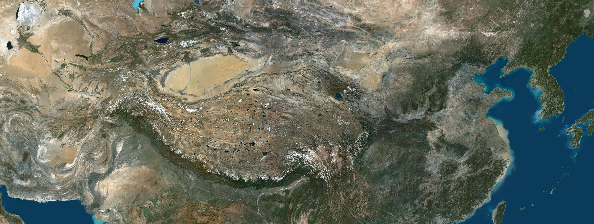
Mapping & GIS: A Foundation That National Agencies Trust
For GIS professionals and mapping organizations, the basemap is the reference layer that everything else is measured against. Land administration, urban planning, infrastructure mapping, energy and resource management, all of these depend on earth observation data that is spatially accurate, visually consistent and current enough to be reliable.
PlanetSAT’s annual update cycle and global coverage make it a natural fit for organizations that need a basemap they can stake their work on. Its 10-meter resolution and color balanced processing deliver a layer that integrates cleanly into GIS platforms, web mapping solutions and cartographic production workflows.
One of the most telling endorsements of PlanetSAT’s quality in this sector came from IGN, the French national mapping agency. IGN chose PlanetSAT to provide global context for their public geoportal, a platform used by millions of people across France. When a national institution responsible for the accuracy of France’s official maps selects your product for their flagship public platform, that is a significant statement of trust.
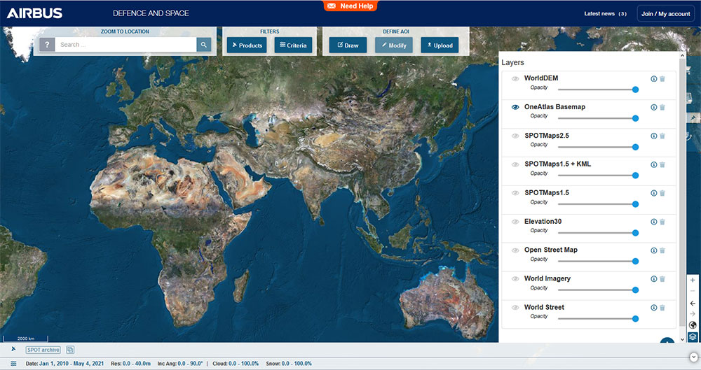
Airbus, whose OneAtlas Basemap platform serves GIS and mapping professionals worldwide, also integrated PlanetSAT into their product.
We have successfully updated the Airbus OneAtlas Basemap with PlanetSAT global imagery mosaic. It has surpassed our expectations. PlanetSAT basemap has really improved the user experience.
Nicolas Vernon, Product Manager OneAtlas Basemap, Airbus
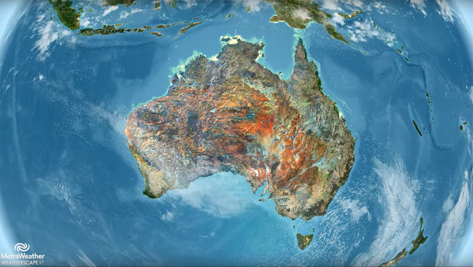
Graphics & Animation: Earth Observation Data That Looks as Good as It Performs
In broadcasting, inflight entertainment and weather graphics, satellite imagery is not just data it is a visual asset. News graphics, moving maps on long flights, real time weather visualizations, these are applications where the imagery needs to look stunning at every scale, from a full globe view down to a regional closeup.
PlanetSAT’s color optimized, seamless global coverage delivers the visual quality that media and broadcast applications demand. The graphics built on PlanetSAT look polished and professional, whether they are displayed on a studio screen or an aircraft seat-back display.
MetraWeather, a leading provider of weather graphics solutions to broadcast clients worldwide, uses both PlanetSAT as the geospatial foundation for their real time graphics systems.
Using PlanetSAT imagery basemap allows us to deliver stunning, real time weather graphics to our broadcast clients, no matter where they are in the world.
Martin Kantor, Lead Creative Engineer, MetraWeather
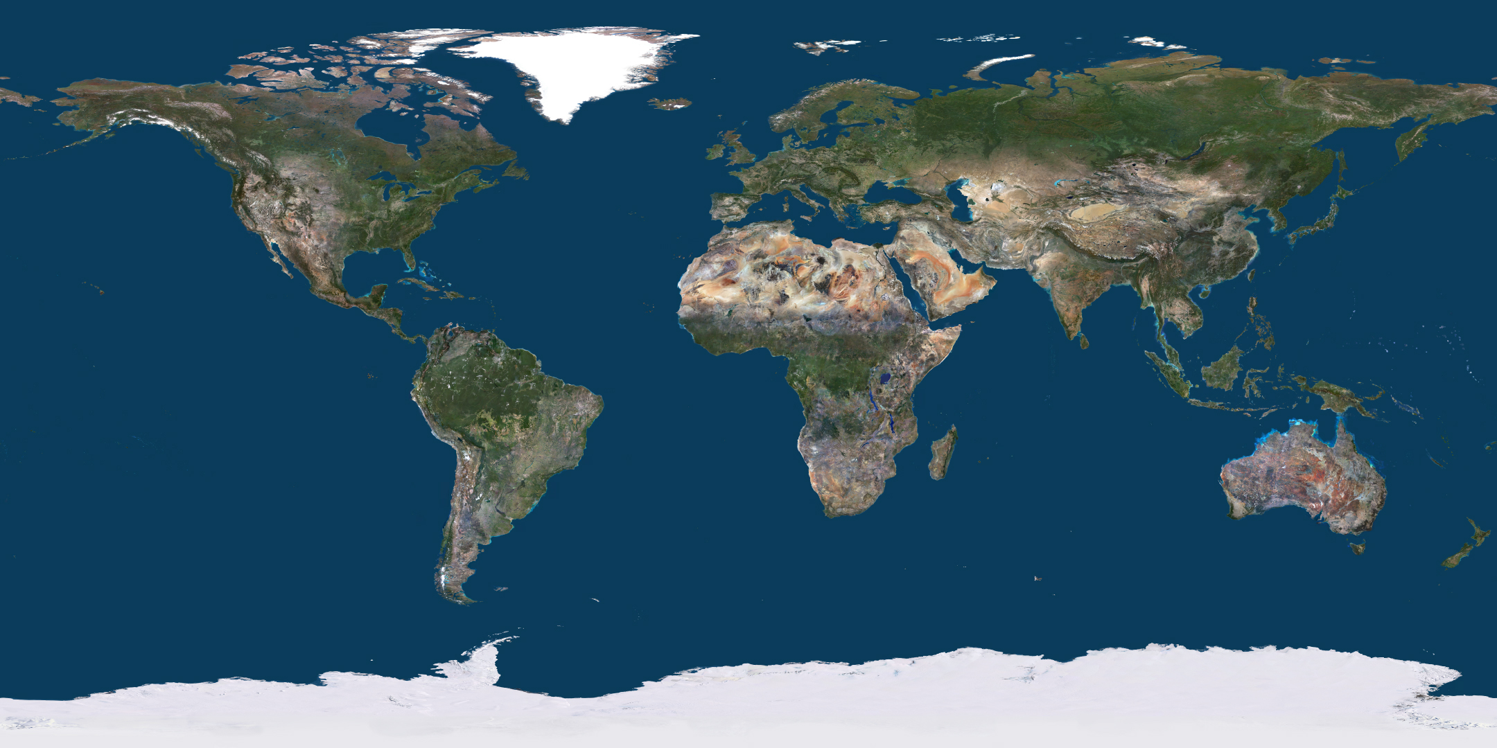
A Track Record Built Over 37 Years
PlanetObserver has been producing global earth observation data since 1989. Over more than three decades, organizations including Boeing, Thales, IGN, Dassault Aviation, the European Space Agency (ESA), Michelin, Sogitec and MetraWeather have integrated PlanetSAT into their platforms and workflows.
The 2026 edition of PlanetSAT continues that commitment. Same rigorous standards, same human validated processing, same annual update discipline with 50 million square kilometers of refreshed imagery and over 120 cities updated for this year’s release.
Experience it Yourself
PlanetObserver’s interactive world viewer gives anyone free access to the full PlanetSAT 2026 basemap at 10-meter resolution. Free sample data is also available before purchase, so your team can test compatibility with your own workflows before making any decisions.
To explore the viewer click here.
Free sample data is also available prior to purchase, allowing integration teams to verify compatibility with their platforms and workflows before committing to a license.
Let's talk
Ready to enhance your project with high-quality geospatial data?
Talk to our team to get started.
