Skip to content
Menu
Fermer
Home
Products
Global Imagery Basemap
Global Elevation Data
Global Imagery Basemap
Global Elevation Data
Industries
Defence & Intelligence
Aerospace
Mapping
Graphics & Animation
Defence & intelligence
Aerospace
Mapping & GIS
Graphics & Animation
Resources
Blog
Customer Stories
About us
Home
Products
Global Imagery Basemap
Global Elevation Data
Global Imagery Basemap
Global Elevation Data
Industries
Defence & Intelligence
Aerospace
Mapping
Graphics & Animation
Defence & intelligence
Aerospace
Mapping & GIS
Graphics & Animation
Resources
Blog
Customer Stories
About us
Home
Products
Global Imagery Basemap
Global Elevation Data
Industries
Defence & Intelligence
Aerospace
Mapping
Graphics & Animation
Resources
Blog
Customer Stories
About us
Contact
Explore the World
Home
Products
Global Imagery Basemap
Global Elevation Data
Industries
Defence & Intelligence
Aerospace
Mapping
Graphics & Animation
Resources
Blog
Customer Stories
About us
Contact
Explore the World
Contact us
Explore the world
Menu
Fermer
Home
Products
Global Imagery Basemap
Global Elevation Data
Global Imagery Basemap
Global Elevation Data
Industries
Defence & Intelligence
Aerospace
Mapping
Graphics & Animation
Defence & intelligence
Aerospace
Mapping & GIS
Graphics & Animation
Resources
Blog
Customer Stories
About us
Home
Products
Global Imagery Basemap
Global Elevation Data
Global Imagery Basemap
Global Elevation Data
Industries
Defence & Intelligence
Aerospace
Mapping
Graphics & Animation
Defence & intelligence
Aerospace
Mapping & GIS
Graphics & Animation
Resources
Blog
Customer Stories
About us
Contact us
Explore the world
Geospatial Data Posts
Back to All Posts
Partners
Geospatial Data
Press Release
Geospatial Data
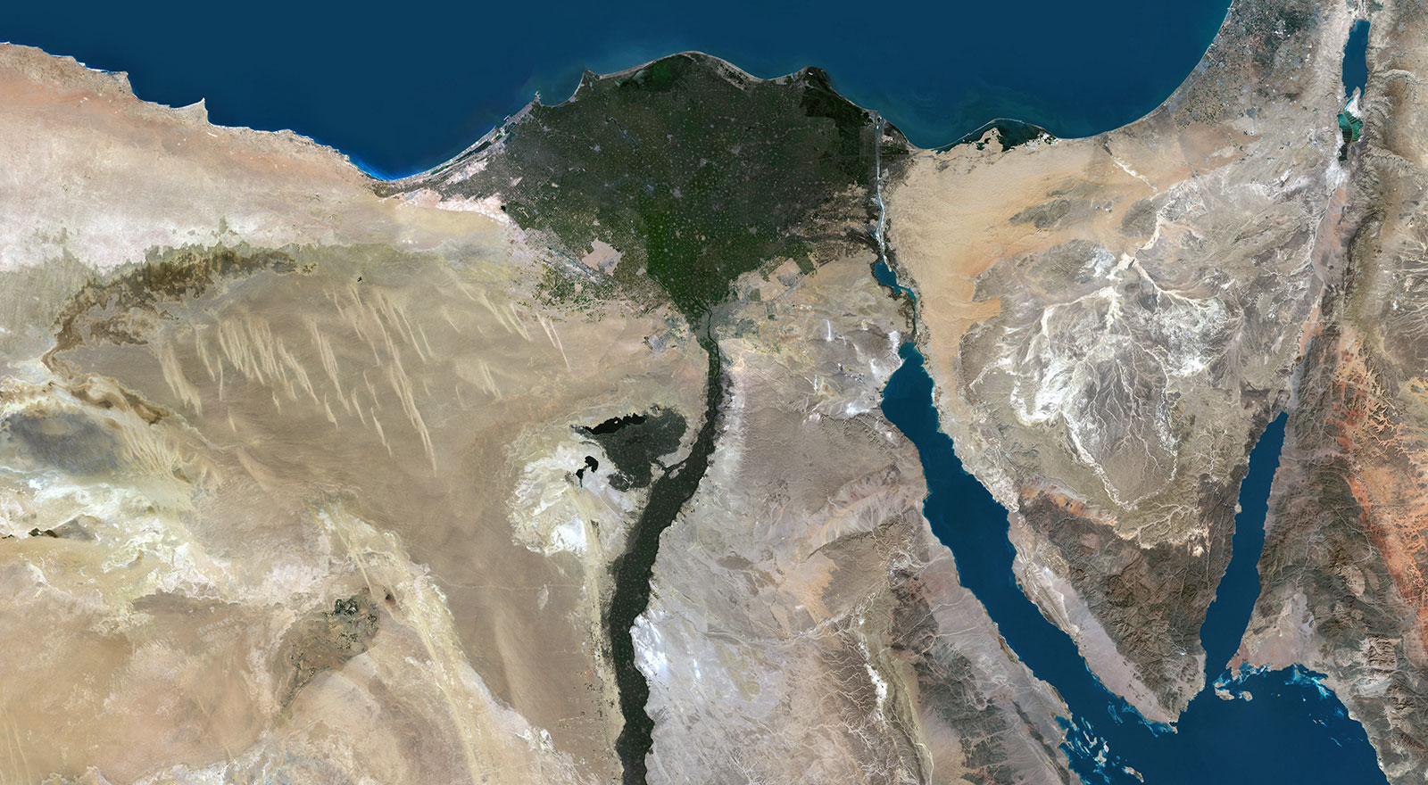
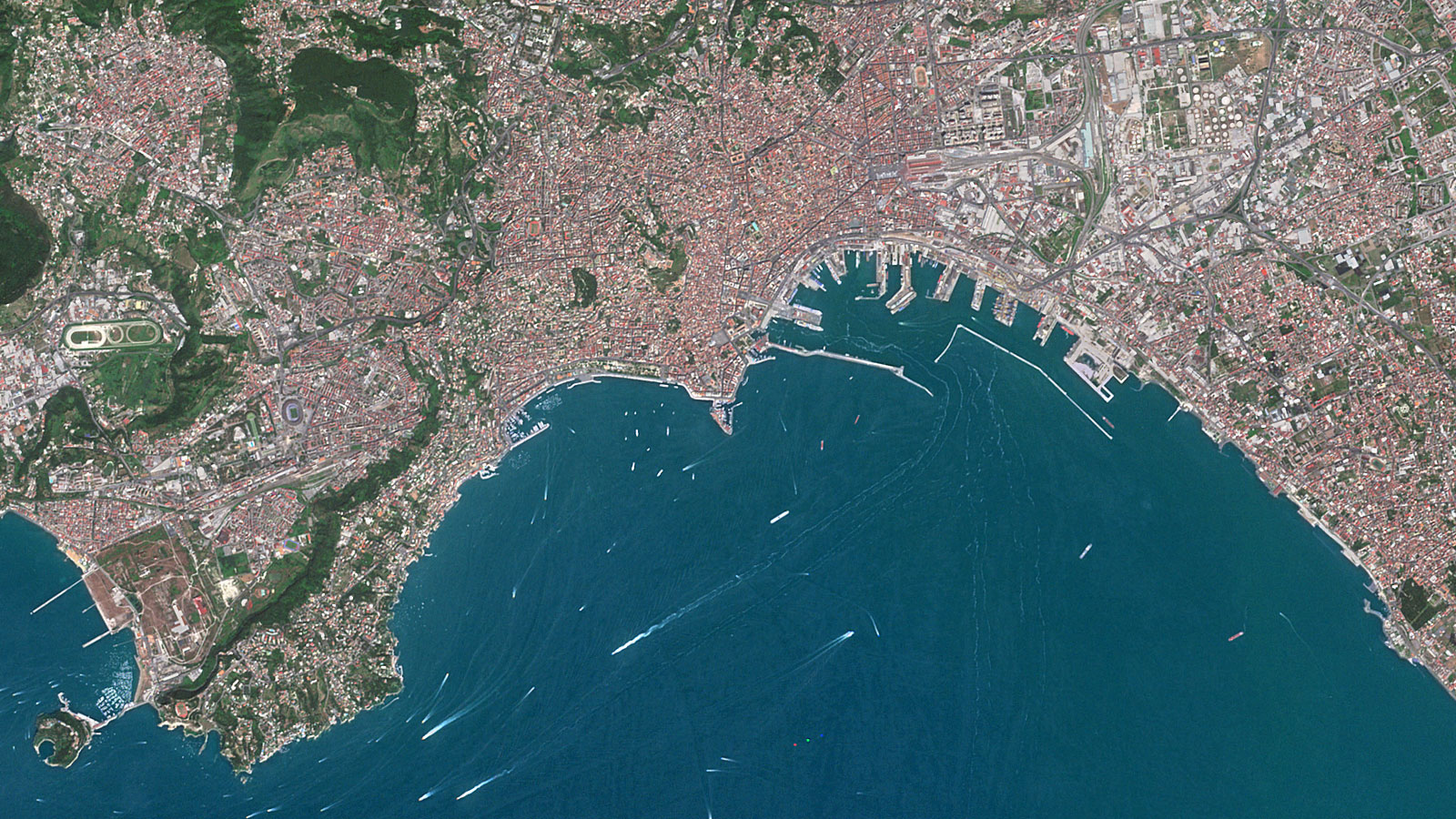
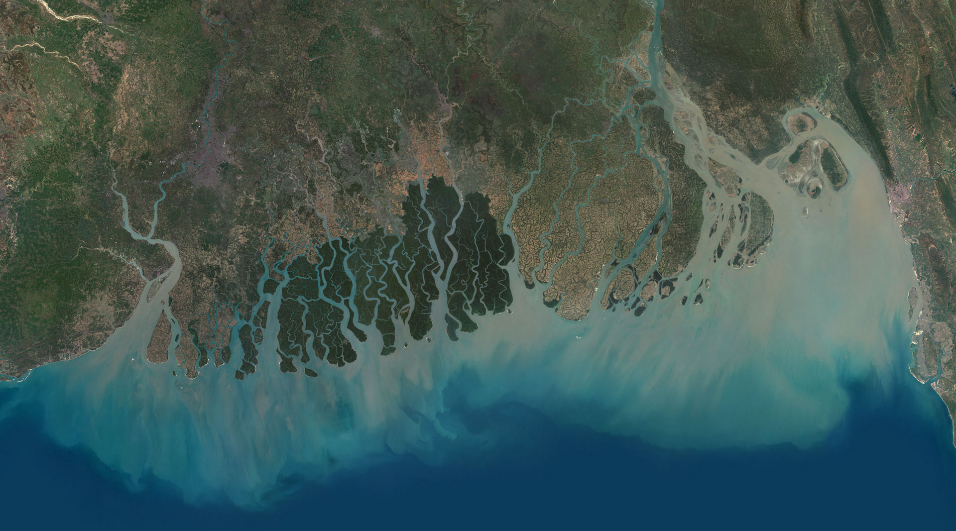
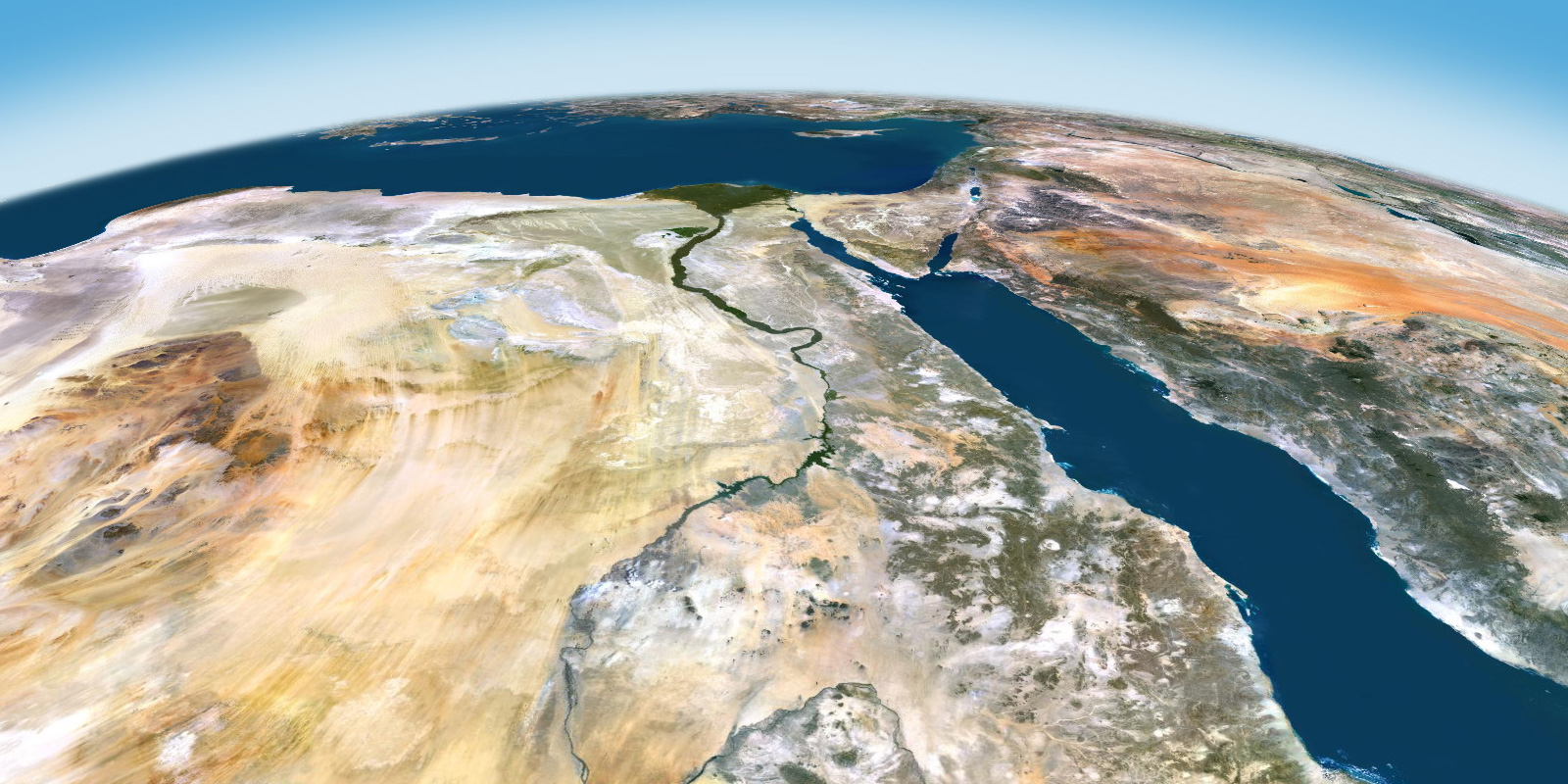
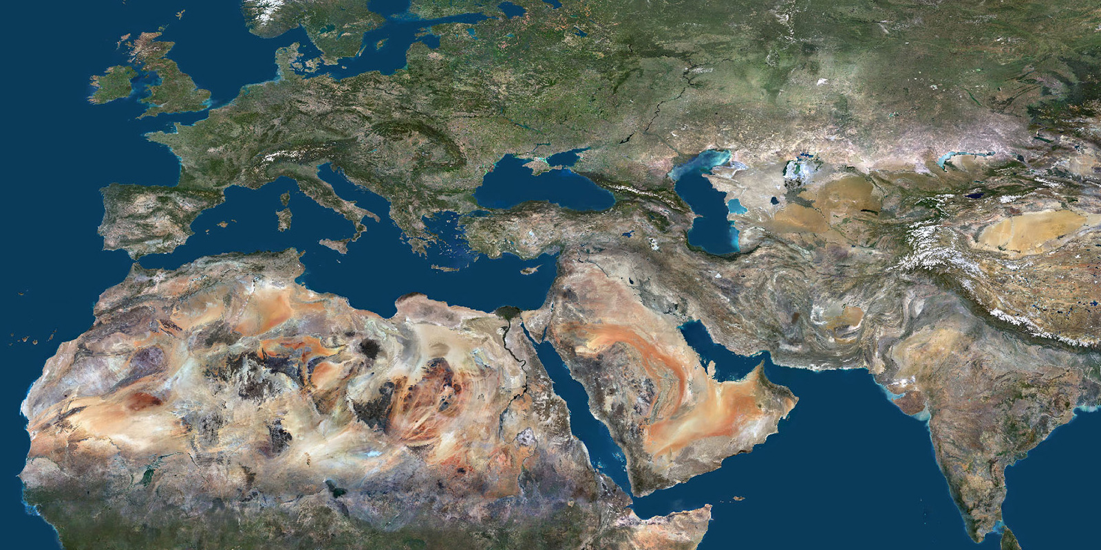
PlanetSAT — A Technically Advanced Global Imagery Basemap
Geospatial Data
The Satellite World Map Like No Other
Geospatial Data
PlanetObserver Releases PlanetSAT Imagery Basemap 2025 with Expanded Updates
Geospatial Data
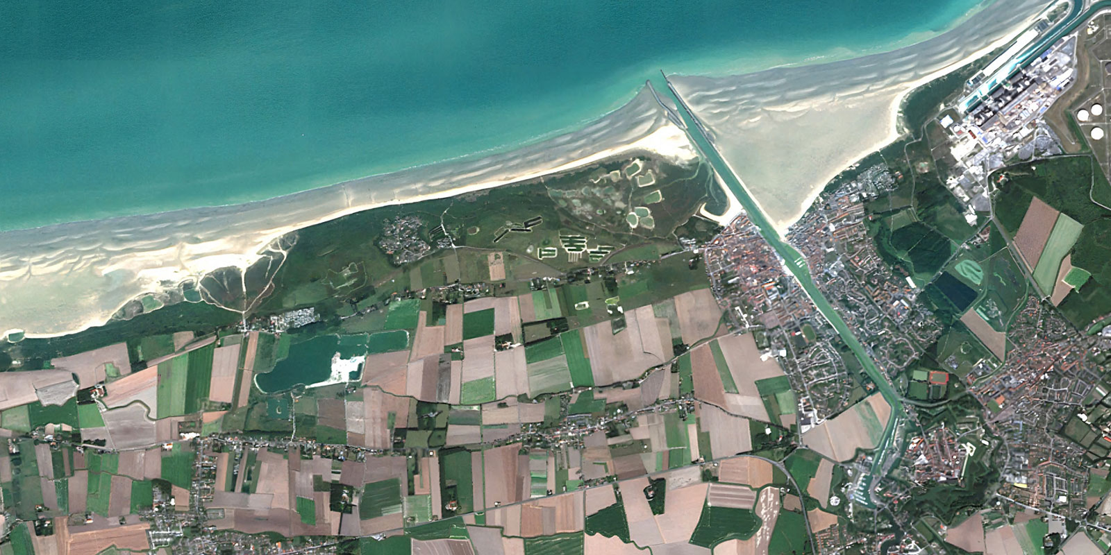
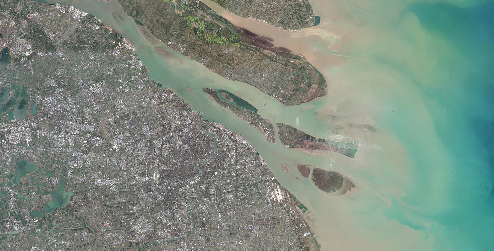
Introducing Super Resolution Imagery: The Example of France from 10-Meter to 5-Meter
Geospatial Data
Capabilities of PlanetObserver – Part 5: Ready-to-Use Geospatial Data
Geospatial Data
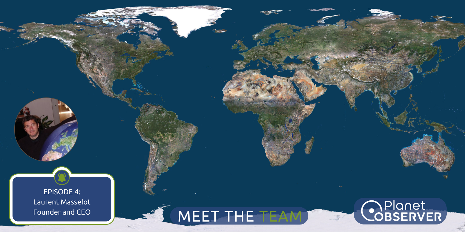
Meet the Team – Episode 4: Laurent’s Passion for Geospatial Projects
Geospatial Data
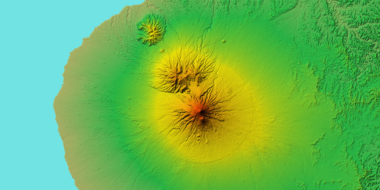
Capabilities of PlanetObserver – Part 4: Global Elevation Dataset
Geospatial Data
Capabilities of PlanetObserver – Part 3: Satellite Image Color Correction
Geospatial Data
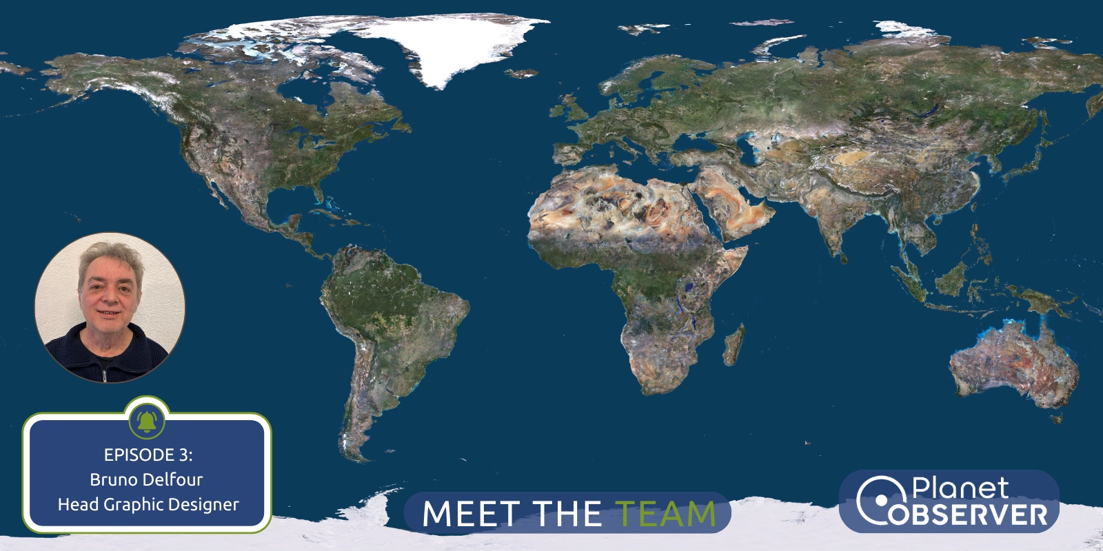
Meet the Team – Episode 3: Satellite Image Color Processing with Bruno
Geospatial Data
Capabilities of PlanetObserver – Part 2: Satellite Image Mosaics