Menu
Fermer


Menu
Fermer
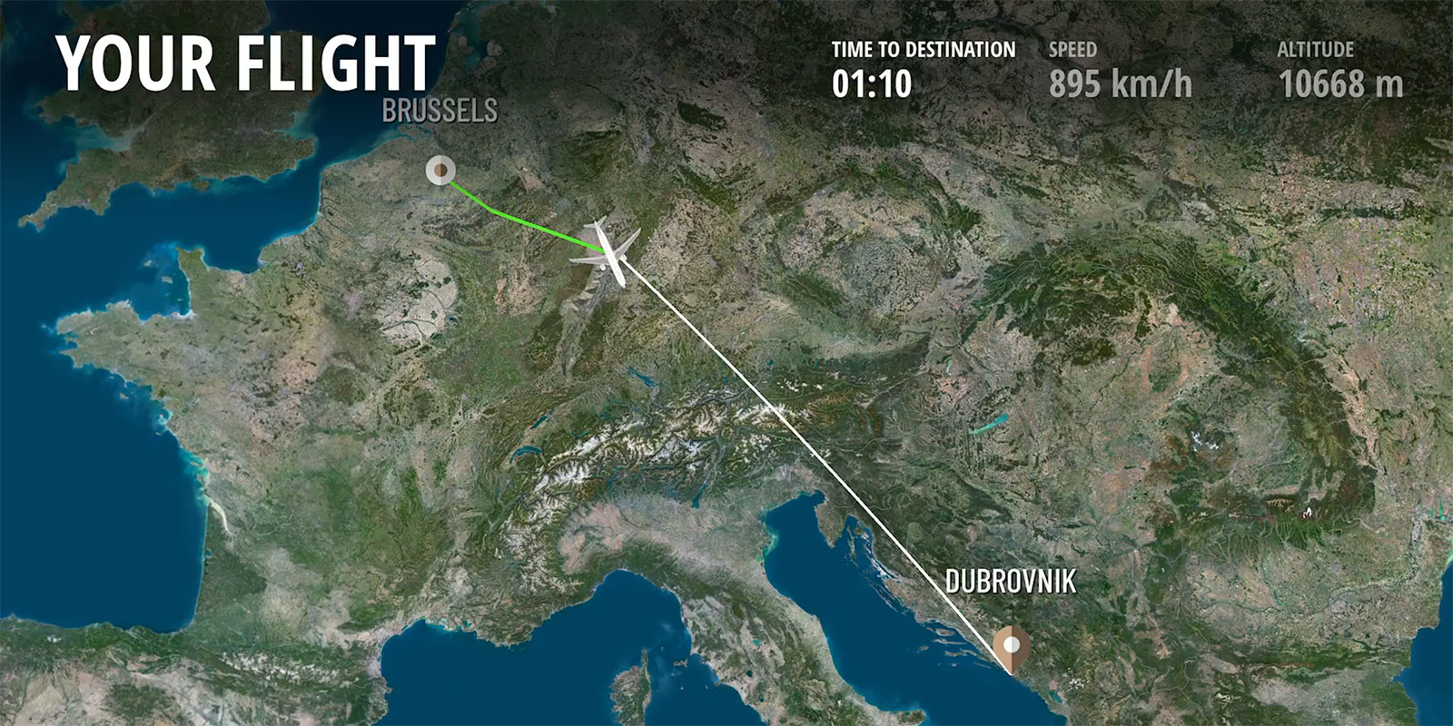
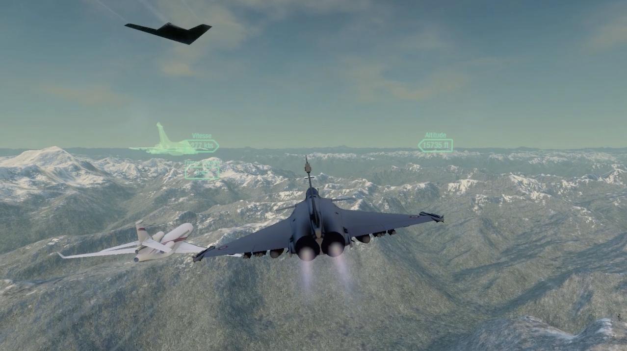
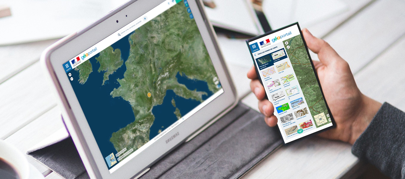
Discover how companies and governments are utilising PlanetSAT 10m Satellite Imagery and PlanetDEM 30m Elevation Data to that maximize the visual and technological performances of their projects and solutions accross various industries.