


Budget Friendly Satellite Imagery and Elevation Data for MODs
Discover cost-effective satellite imagery and elevation data solutions tailored for Ministries of Defence (MODs), supporting mission planning, training, and geospatial analysis with reliable global coverage.

Key benefits
- Enhanced situational awareness: With access to high-quality satellite imagery and terrain data, MODs get a comprehensive understanding of the operational environment, both within their own territories and in regions of strategic interest. This allows them to make more informed decisions about deployment, logistics, and mission planning.
- Improved mission planning and execution: Effective mission planning is crucial for MODs to carry out military operations successfully. Global medium-resolution imagery basemaps offer the necessary level of detail to support mission planning, including identifying suitable landing zones, determining optimal routes, and assessing potential obstacles or hazards.
- Cost-effective solution: PlanetObserver’s medium resolution basemap and elevation dataset is a cost-effective alternative to sources of very high resolution imagery, which can be prohibitively expensive for many MODs. This cost-effectiveness ensures that MODs can optimize their resources and allocate their budgets strategically, allowing for the efficient utilization of limited funds while still maintaining a high standard of data quality.
- High-quality imagery and terrain data: PlanetObserver’s world map provides a high-quality, detailed view of the world that is sufficient for many military applications.
Products used
The client : Ministries of Defense
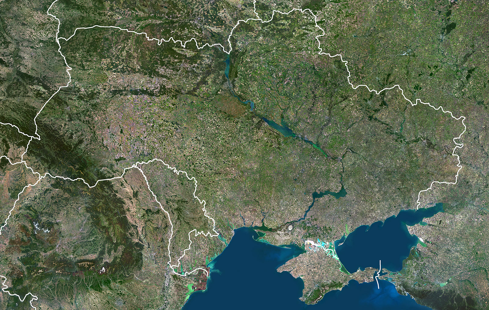
This case study focuses on the application of medium-resolution satellite imagery and elevation data by Ministries of Defense (MODs) in Europe, including the Estonian Ministry of Defense, the Swiss Armed Forces, and NATO (NATO Rapid Deployable Corps – Italy).
PlanetObserver’s contribution in supplying MODs with PlanetSAT comprehensive satellite imagery basemap and PlanetDEM accurate global elevation dataset has significantly empowered their internal operations and decision-making processes.
The Challenge : Beyond Open-Source
Ministries of Defense (MODs) are tasked with making critical decisions regarding national security and defense, necessitating access to accurate and up-to-date information. One of the primary challenges faced by MODs is acquiring high-quality satellite imagery that offers a detailed view of the terrain, infrastructure, and potential threats within their designated regions. Traditional sources of very high-resolution satellite imagery often prove to be expensive when covering large areas, making them less viable for MODs.
Moreover, the ability to access data offline and obtain comprehensive documentation is essential for MODs to effectively utilize the information. Additionally, MODs require a dedicated team of experts capable of promptly addressing any data errors or accommodating special requests. Consequently, open-source geospatial data solutions do not adequately meet the unique requirements of MODs.
The Solution : Unleashing Global Insights
PlanetObserver offers a comprehensive solution catered to Ministries of Defense (MODs) seeking reliable and cost-effective access to high-quality, medium-resolution satellite imagery and elevation data for their internal operations. The integration of PlanetObserver global satellite imagery and terrain data enables MODs to obtain a highly detailed and accurate view of the globe.
Specifically, PlanetSAT 10-meter imagery basemap provided by PlanetObserver proves invaluable for various military applications such as mission planning, situational awareness, and intelligence gathering. It seamlessly complements existing Very-High-Resolution satellite imagery utilized by MODs, further enhancing their overall solutions.
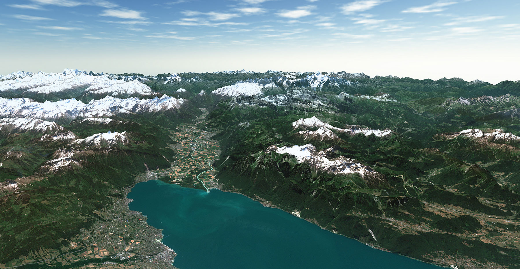
Additionally, PlanetDEM 30-meter elevation dataset enriches MODs’ terrain information globally, ensuring improved precision and reliability in their analyses and decision-making processes.

The Benefits : Strengthening Defense Capabilities
The benefits of utilizing medium-resolution satellite imagery for MODs are numerous. Here are a few examples:
- Enhanced situational awareness: With access to high-quality satellite imagery and terrain data, MODs get a comprehensive understanding of the operational environment, both within their own territories and in regions of strategic interest. This allows them to make more informed decisions about deployment, logistics, and mission planning.
- Improved mission planning and execution: Effective mission planning is crucial for MODs to carry out military operations successfully. Global medium-resolution imagery basemaps offer the necessary level of detail to support mission planning, including identifying suitable landing zones, determining optimal routes, and assessing potential obstacles or hazards.
- Cost-effective solution: PlanetObserver’s medium resolution basemap and elevation dataset is a cost-effective alternative to sources of very high resolution imagery, which can be prohibitively expensive for many MODs. This cost-effectiveness ensures that MODs can optimize their resources and allocate their budgets strategically, allowing for the efficient utilization of limited funds while still maintaining a high standard of data quality.
- High-quality imagery and terrain data: PlanetObserver’s world map provides a high-quality, detailed view of the world that is sufficient for many military applications.
In conclusion, PlanetObserver’s medium-resolution global imagery and elevation datasets provide a valuable resource for Ministries of Defense seeking to enhance situational awareness, improve intelligence gathering, and access high-quality data in a cost-effective manner. By leveraging these resources, MODs can strengthen their defense capabilities, make informed decisions, and effectively respond to dynamic security challenges on a global scale.

Let's talk
Ready to enhance your project with high-quality geospatial data? Talk to our team to get started.
