


How Satellite Imagery for Media
Enhances Publishing and Broadcasting

Explore how satellite imagery elevates media production, enhancing publishing and broadcasting with compelling visuals, accurate geographic context, and richer storytelling.
Key benefits
By accessing PlanetObserver’s satellite imagery through trusted platforms, clients benefit from:
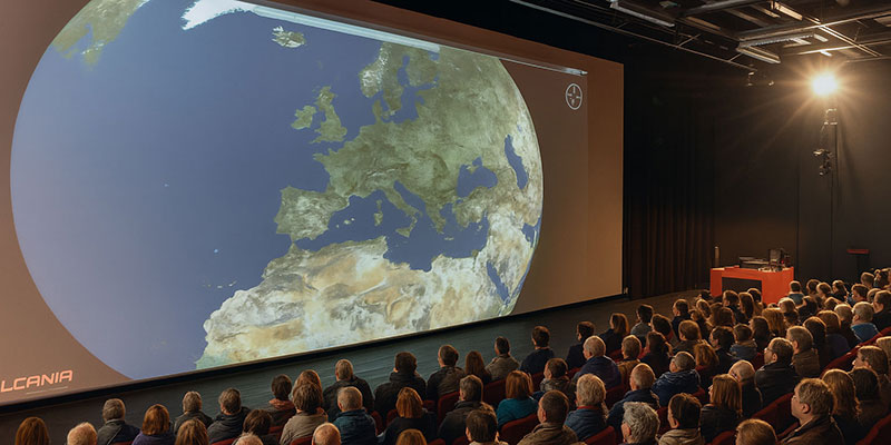
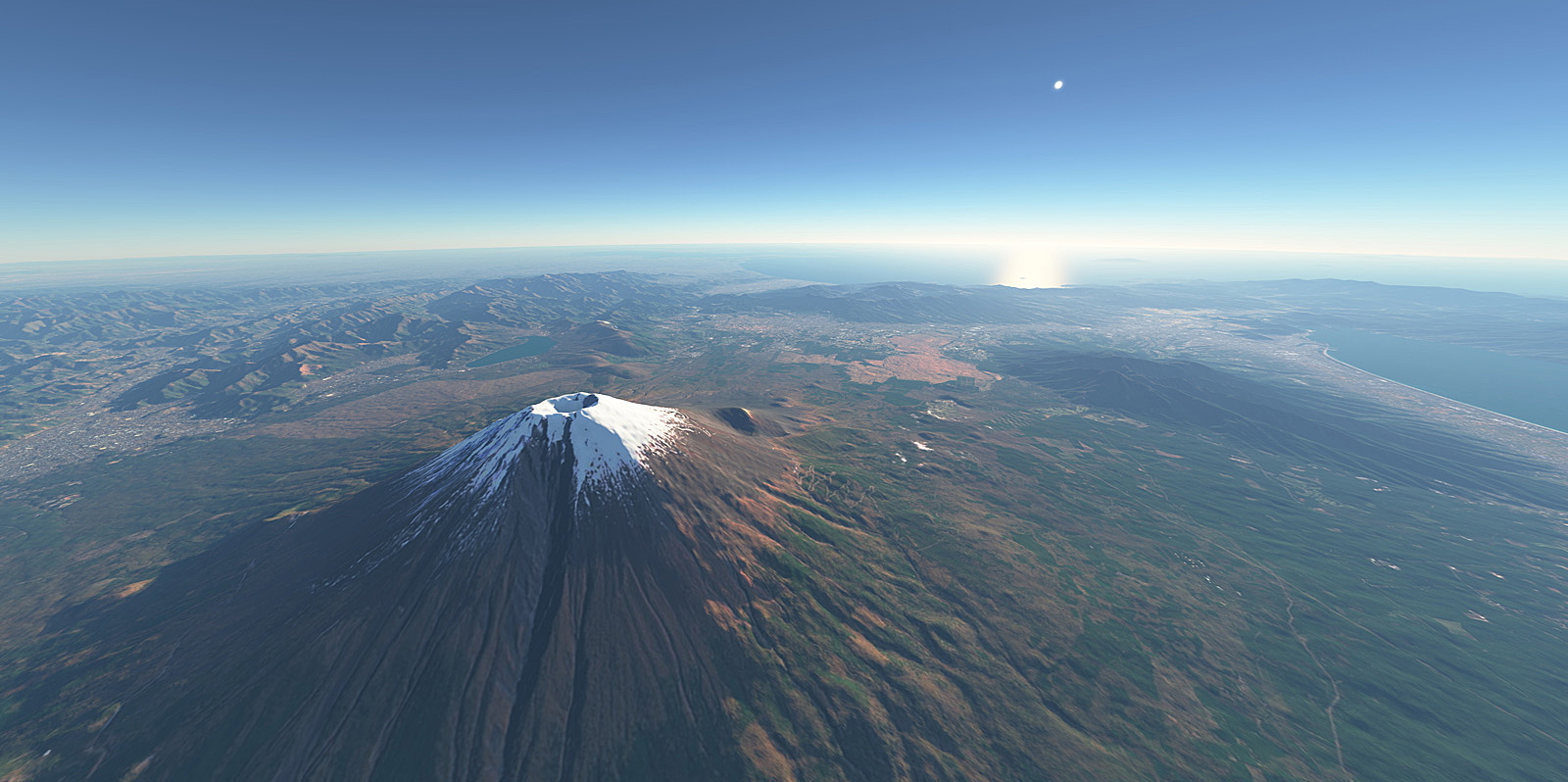
– High Visual Impact: Stunning, true-color visuals that enhance storytelling and captivate audiences.
– Global Coverage: Imagery of all regions, from iconic landscapes to lesser-known areas.
– Reliability and Consistency: High-quality data ensures accuracy for professional use.
– Ease of Access: Seamless availability through established image banks makes it simple for publishers and broadcasters to integrate our imagery into their projects.
Products used
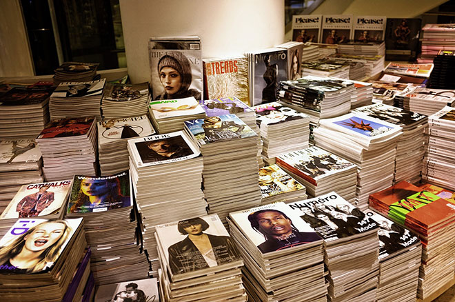
The client : Meeting Global Media Professionals
How can satellite imagery reach all users worldwide, from publishers and broadcasters to educational content creators? These clients rely on high-quality visuals to illustrate news stories, geographical features, environmental changes, and editorial content.
The answer lies in partnering with established image banks and distribution networks. By collaborating with global platforms such as Getty Images, Alamy, and Aflo in Japan, via our agent Universal Images Group (UIG), PlanetObserver ensures its high-quality imagery is easily accessible to a broad range of media professionals. We also have a long-term partnership with Science Photo Library, the leading source of science and medical images and videos.
These partnerships allow our satellite images to be distributed widely, helping clients tell compelling stories across different industries and regions.
The Challenge : Delivering Visual Excellence for Media
In the fast-paced world of publishing and broadcasting, access to accurate and impactful satellite imagery is crucial. Clients need visuals that not only showcase Earth’s diverse landscapes but also align with their creative and technical requirements. Satellite imagery must meet strict quality standards: high quality, true-to-life colors, and visual consistency across regions.
For media professionals, sourcing imagery that is both beautiful and reliable can be time-consuming, particularly when content demands global coverage, timely updates, and clear licensing conditions.
The Solution : High-Quality Satellite Imagery with Essential Metadata
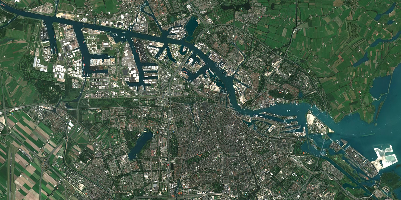
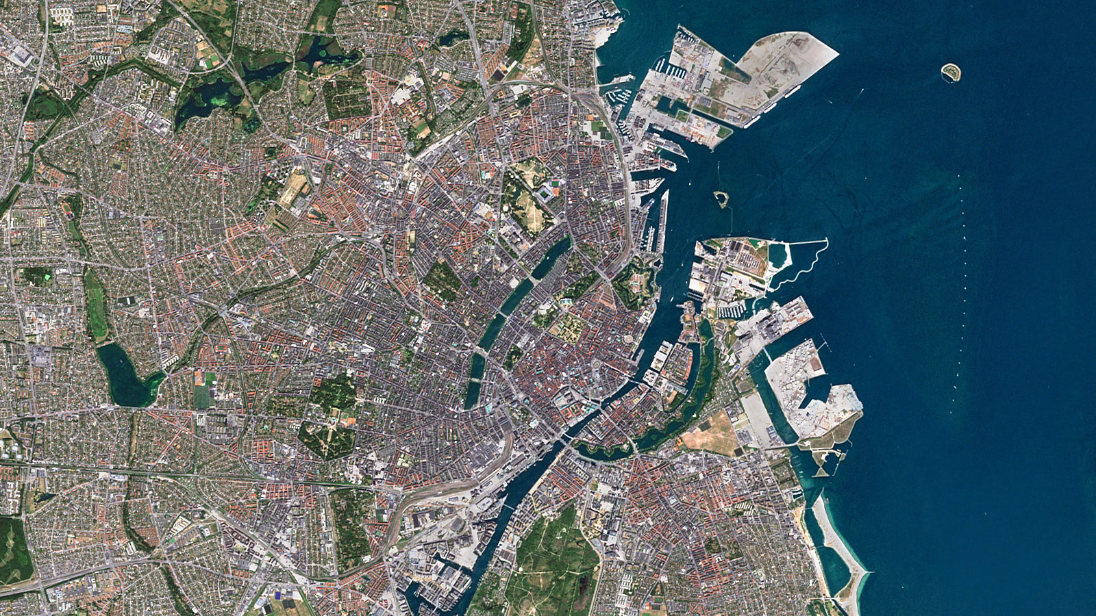
PlanetObserver addresses these challenges by offering a collection of high-quality satellite imagery that is curated for professional use. Our true-color, high-resolution imagery captures the Earth in stunning detail, enabling media professionals to tell powerful visual stories. With coverage spanning the entire globe, PlanetObserver ensures that media outlets can find the precise visuals they need—quickly and efficiently.
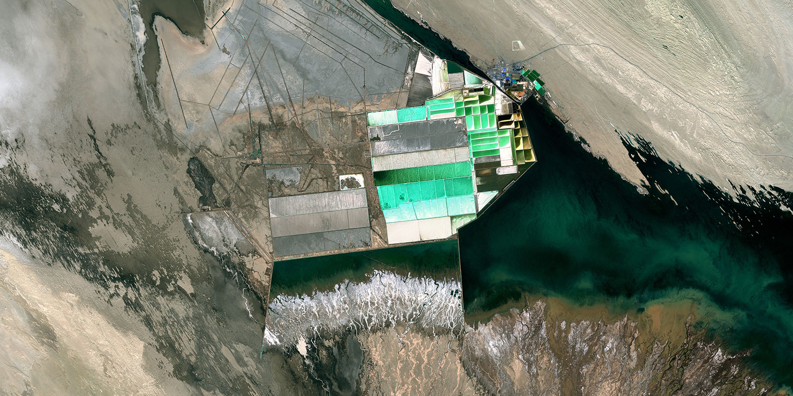
Additionally, we offer updated imagery every year, focusing particularly on urban areas that have developed or changed over time. New images are also added regularly, covering emerging sites such as industrial developments, solar power plants, and mining operations. This ensures that our clients always have access to the most relevant and up-to-date visual data.
The provided true-color satellite images are also enriched with valuable metadata. Each image is accompanied by a detailed caption describing the scene, along with crucial information such as the image date. This metadata is essential for users, as it ensures accuracy and context.
By offering both imagery and the supporting data, we help our clients seamlessly integrate our visuals into their projects, such as news articles, documentaries, educational publications, and broadcasts, with the confidence that the information is as reliable as the imagery itself.
The Benefits : Stunning Satellite Imagery for Media with Reliable Access
By accessing PlanetObserver’s satellite imagery through trusted platforms, clients benefit from:
– High Visual Impact: Stunning, true-color visuals that enhance storytelling and captivate audiences.
– Global Coverage: Imagery of all regions, from iconic landscapes to lesser-known areas.
– Reliability and Consistency: High-quality data ensures accuracy for professional use.
– Ease of Access: Seamless availability through established image banks makes it simple for publishers and broadcasters to integrate our imagery into their projects.
PlanetObserver’s satellite imagery enables media professionals to deliver engaging, informative, and visually compelling content to audiences worldwide. Whether highlighting urban development or emerging industrial sites, PlanetObserver’s imagery continues to support dynamic storytelling in a variety of media applications.
Let's talk
Ready to enhance your project with high-quality geospatial data? Talk to our team to get started.
