Skip to content
Menu
Fermer
Home
Products
Global Imagery Basemap
Global Elevation Data
Global Imagery Basemap
Global Elevation Data
Industries
Defence & Intelligence
Aerospace
Mapping
Graphics & Animation
Defence & intelligence
Aerospace
Mapping & GIS
Graphics & Animation
Resources
Blog
Customer Stories
About us
Home
Products
Global Imagery Basemap
Global Elevation Data
Global Imagery Basemap
Global Elevation Data
Industries
Defence & Intelligence
Aerospace
Mapping
Graphics & Animation
Defence & intelligence
Aerospace
Mapping & GIS
Graphics & Animation
Resources
Blog
Customer Stories
About us
Home
Products
Global Imagery Basemap
Global Elevation Data
Industries
Defence & Intelligence
Aerospace
Mapping
Graphics & Animation
Resources
Blog
Customer Stories
About us
Home
Products
Global Imagery Basemap
Global Elevation Data
Industries
Defence & Intelligence
Aerospace
Mapping
Graphics & Animation
Resources
Blog
Customer Stories
About us
Contact us
Explore the world
Menu
Fermer
Home
Products
Global Imagery Basemap
Global Elevation Data
Global Imagery Basemap
Global Elevation Data
Industries
Defence & Intelligence
Aerospace
Mapping
Graphics & Animation
Defence & intelligence
Aerospace
Mapping & GIS
Graphics & Animation
Resources
Blog
Customer Stories
About us
Home
Products
Global Imagery Basemap
Global Elevation Data
Global Imagery Basemap
Global Elevation Data
Industries
Defence & Intelligence
Aerospace
Mapping
Graphics & Animation
Defence & intelligence
Aerospace
Mapping & GIS
Graphics & Animation
Resources
Blog
Customer Stories
About us
Contact us
Explore the world
Geospatial Data Posts
Partners
Geospatial Data
Press Release
Geospatial Data
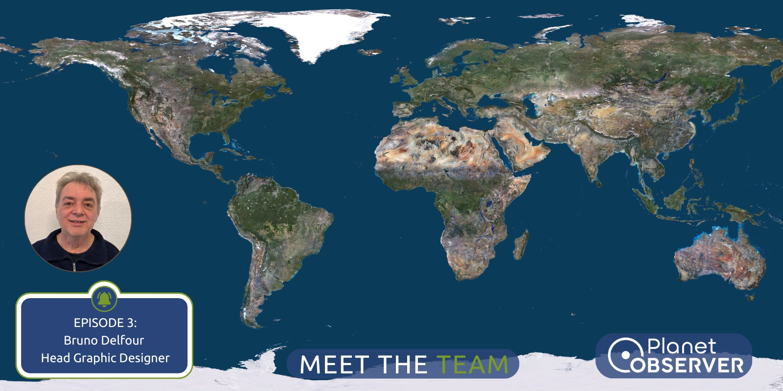
Meet the Geospatial Team – Episode 2: Pierre Dubus
Geospatial Data
Capabilities of PlanetObserver – Part 1: Geospatial Data Sourcing
Geospatial Data
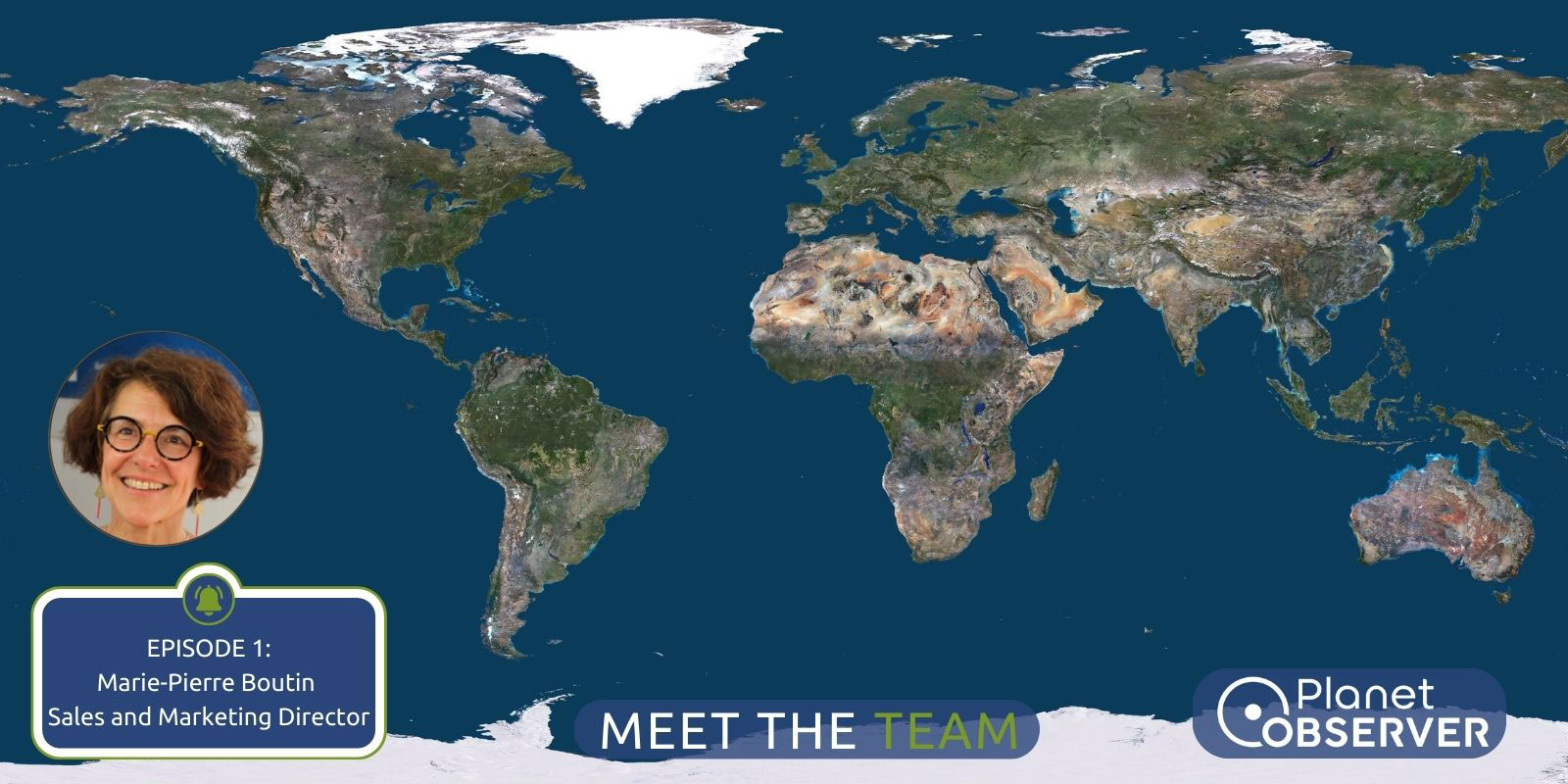
Meet the Geospatial Team – Episode 1: Marie-Pierre
Geospatial Data
From Satellite Imagery to Tuna Casserole
Geospatial Data
A Crash Course in Geospatial Tech Lingo
Geospatial Data
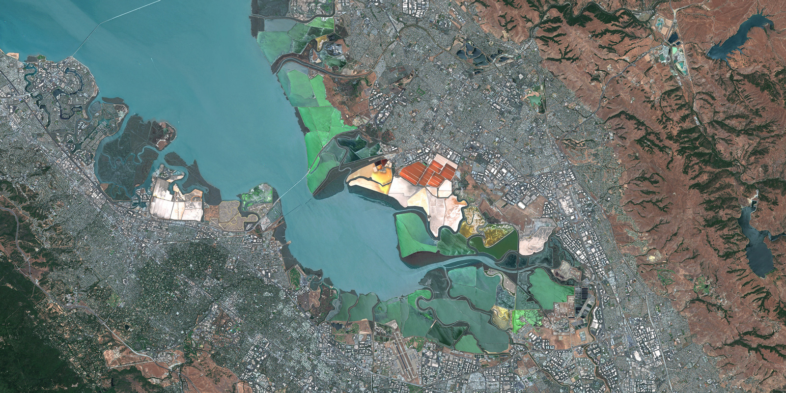
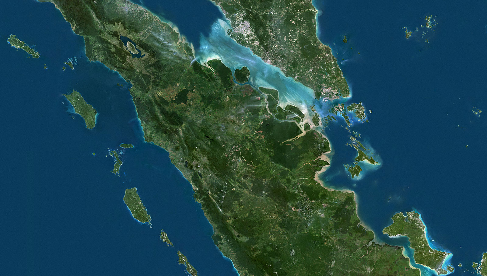
Why is PlanetSAT the most beautiful global imagery basemap?
Geospatial Data
Medium Resolution Geospatial Data Benefiting the Defense Industry
Geospatial Data
New PlanetDEM Global Elevation Dataset Enhancing Data Reliability