Mapping and GIS solution
High-Quality Imagery for Mapping Platforms and GIS Projects
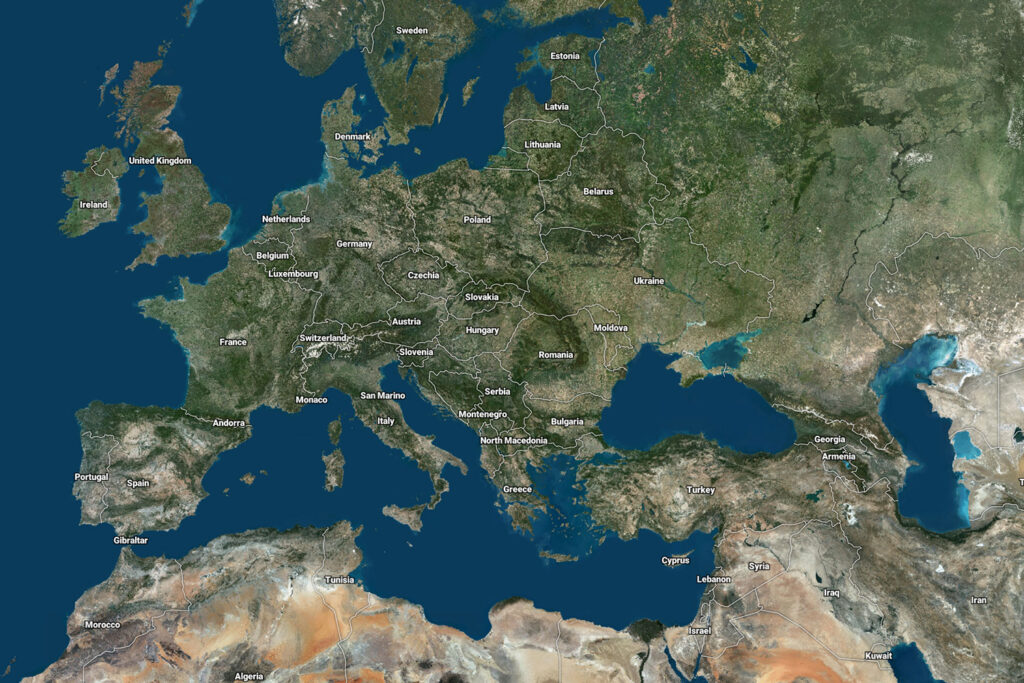
Reliable Imagery to Power Your Mapping Projects
PlanetObserver delivers geospatial data that stands out for its visual quality, global consistency, and ease of use. Our satellite imagery and elevation products are specifically designed to enhance GIS projects and power mapping platforms with natural, cloud-free visuals and seamless global coverage.
Unlike complex raw data, our ready-to-use datasets reduce processing time and simplify integration, helping users focus on analysis, cartography, and decision-making. Trusted by professionals across industries, our solutions combine aesthetic quality with technical reliability for superior mapping results.
Enhance your GIS and mapping tools
with ready-to-use geospatial data
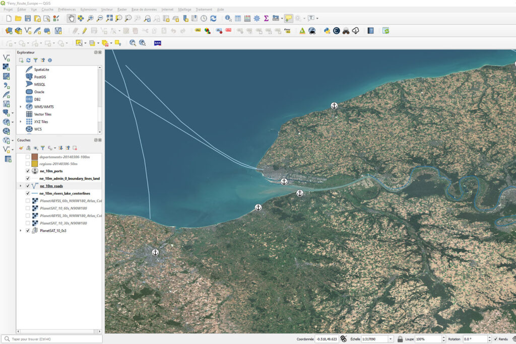
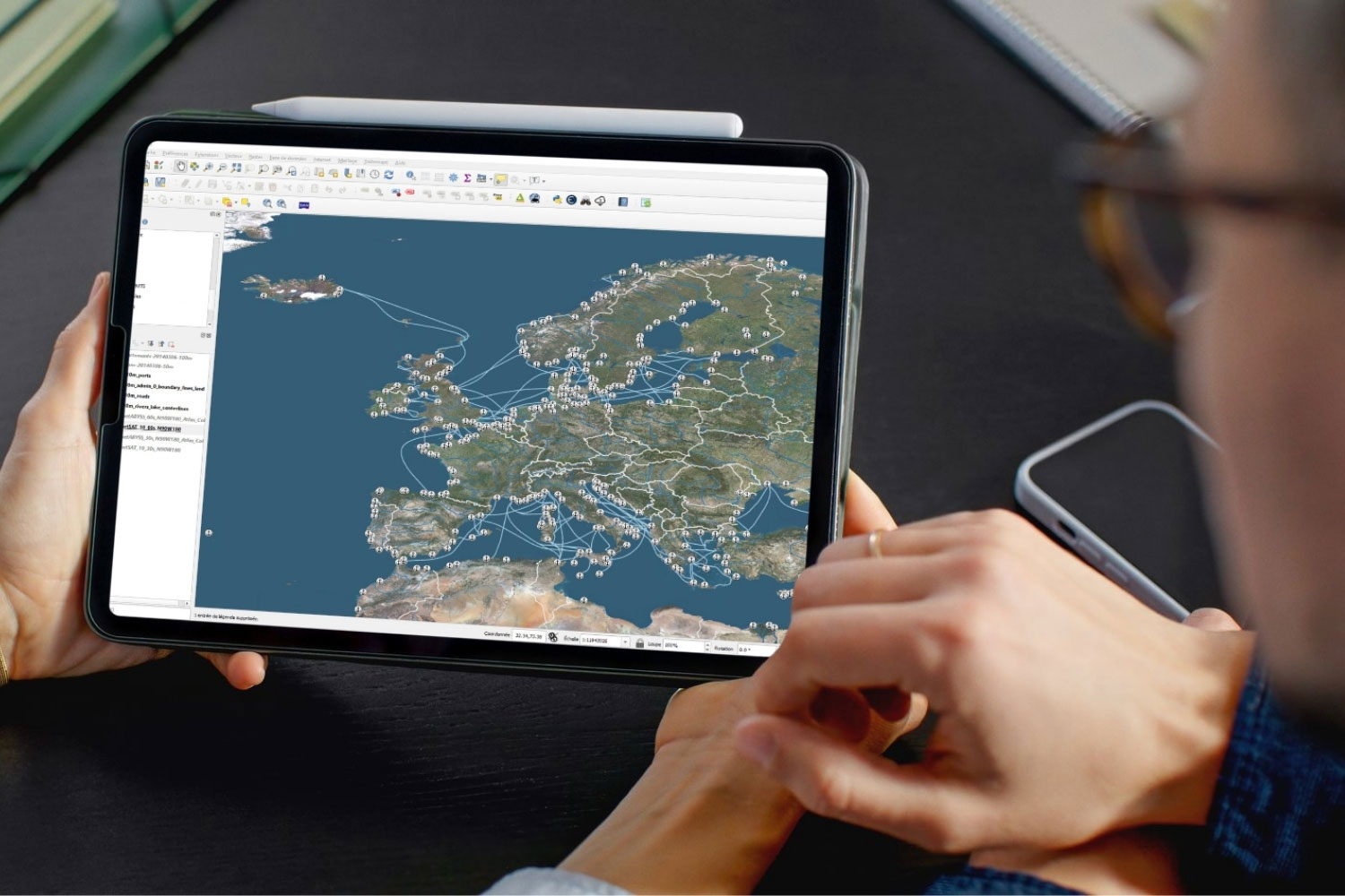
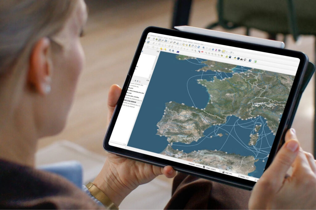
Reliable Data for GIS Projects
PlanetObserver’s global datasets are optimized for GIS professionals who need clean, consistent, and accurately georeferenced data. Streamline geospatial workflows with our ready-to-use imagery and elevation data that integrate seamlessly into all major GIS software environments.
Designed to support a wide range of GIS applications, our data delivers reliability and visual clarity. Cloud-free and rendered in natural color, our imagery reduces preprocessing time and improves visual interpretation, enabling professionals to work more efficiently on planning, analysis, and decision-making tasks.
Key Applications
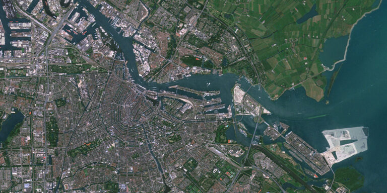
- Basemaps for web and desktop GIS platforms
- Land administration and cadastral systems
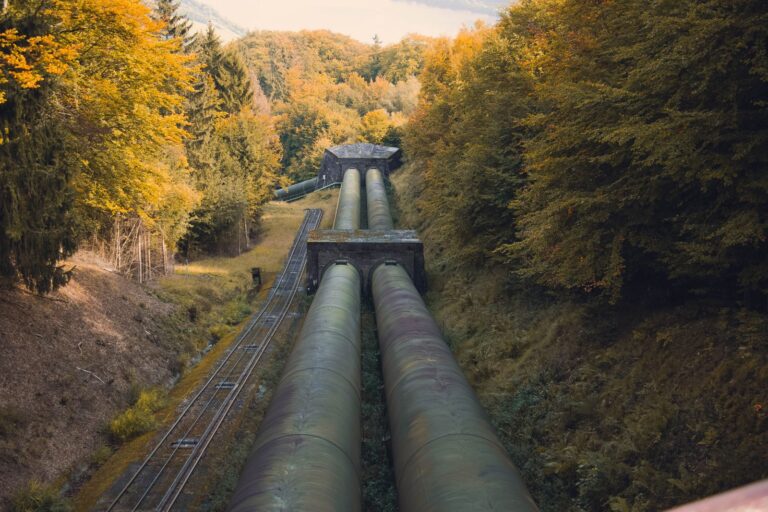
- Infrastructure planning, including railways, roads, and highways
- Energy networks and utility mapping
Trusted by leading organizations, PlanetObserver data is used in demanding GIS environments where quality and consistency are critical. Customers such as Microsoft and TotalEnergies rely on our cloud-free, natural-color datasets to support mapping, planning, and large-scale geospatial projects with confidence.
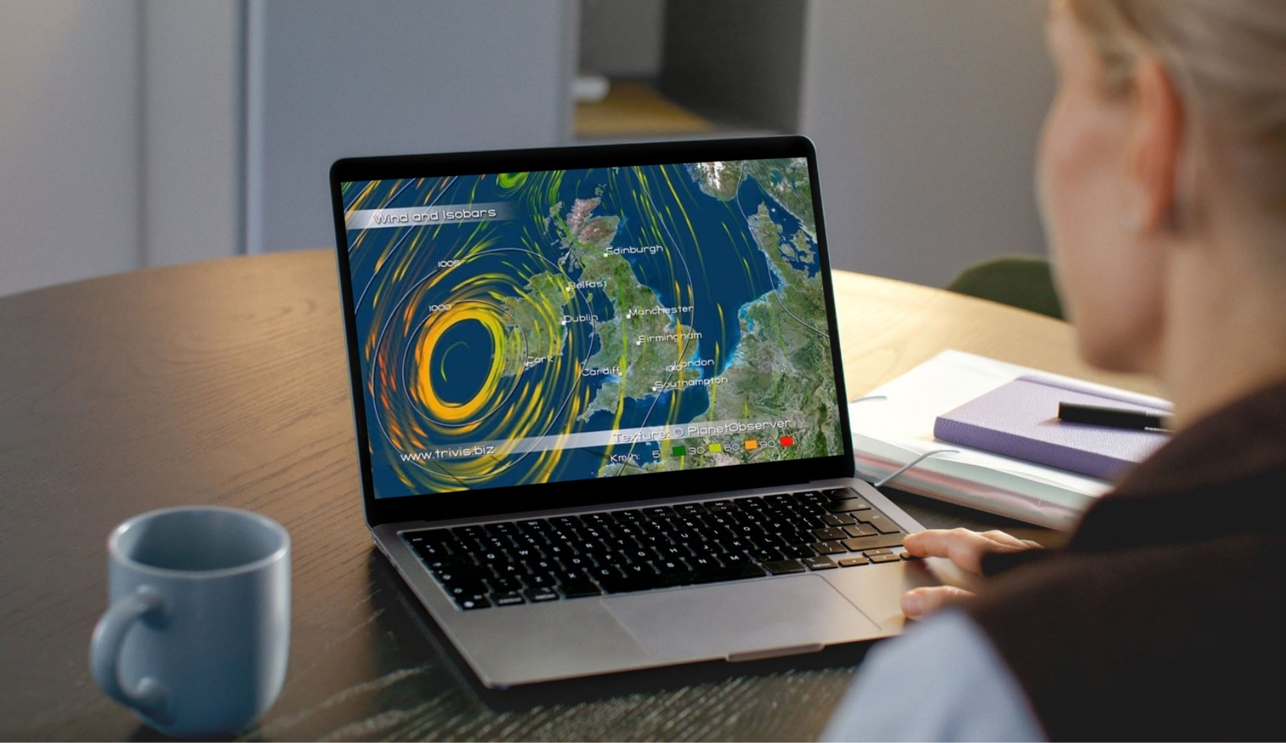
High-Performance Imagery for Mapping Platforms
Our satellite imagery basemap is perfectly suited for web and mobile mapping platforms. Deliver fast, visually engaging map experiences on any device thanks to seamless global coverage and realistic, natural-color imagery data.
For viewers and mapping platforms across different industries, our content ensures strong visual impact and enhances the user experience.
Key Applications
- Web-based mapping platforms and online geoportals
- Mobile mapping and location-based applications
- Data visualization interfaces requiring fast rendering and visual consistency
Trusted by major organizations, PlanetObserver imagery is used to deliver reliable and visually consistent mapping experiences at scale. Like Airbus and IGN, the French Mapping Agency, rely on our high-performance, natural-color imagery to enhance visual quality and ensure seamless integration across web and mobile mapping platforms.

Our Commitment
Trusted geospatial solutions—delivered with precision and care.
Expert support
We go beyond data delivery—offering close collaboration to ensure our solutions align with your goals and technical needs.
Let's talk
Ready to enhance your mapping and GIS solutions?
Contact us to explore how our data can support your project.
Hear What our Amazing Customers Say

« We have successfully updated the Airbus OneAtlas Basemap with PlanetSAT global imagery mosaic. It has surpassed our expectations. PlanetSAT basemap has really improved the user experience. »
– Airbus DS
« The integration of PlanetSAT imagery into the IGN Maps application supports our mission to deliver a clear, consistent, and visually accurate global view, enhancing the overall user experience. »
– IGN

« PlanetObserver’s 10-meter imagery offers the visual quality and seamless coverage we needed to produce new planning maps for Hong Kong and mainland China, with confidence. »
– Hong Kong Planning Department
Customer Success Stories
See how organizations around the world use our geospatial data to solve real challenges, drive innovation,
and bring their projects to life. Discover their stories—and imagine what’s possible for yours.
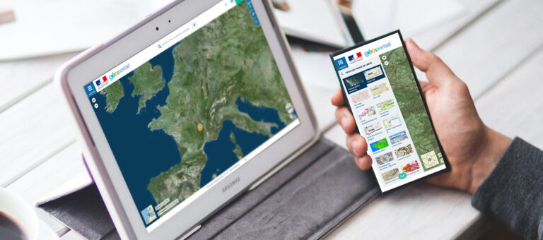
The French Mapping Agency needed to give their geoportal users global context with a World Satellite Map.
PlanetDEM 30m global elevation dataset is used for exploratory phases in oil & gas projects.

How the Netherland’s Ministry of Internal Affairs improved their mapping platform with new world satellite imagery.

For its program AI for Earth, Microsoft has chosen PlanetDEM 30m elevation product to perform geospatial analysis.
They trust us


Let's talk
Ready to enhance your mapping and GIS solutions?
Contact us to explore how our data can support your project.
More industries we serve
Defence & Intelligence

Aerospace

Graphics & animation