

The leading flight planning and real-time aircraft navigation app, used by thousands of pilots, embeds PlanetSAT basemap.
Read Case Study
End of Year Offer on PlanetSAT and PlanetDEM! Claim your 30% discount by contacting us now!
Enrich your flight simulation solutions and tools with professional geospatial data to enhance safety and performance.
Get in Touch

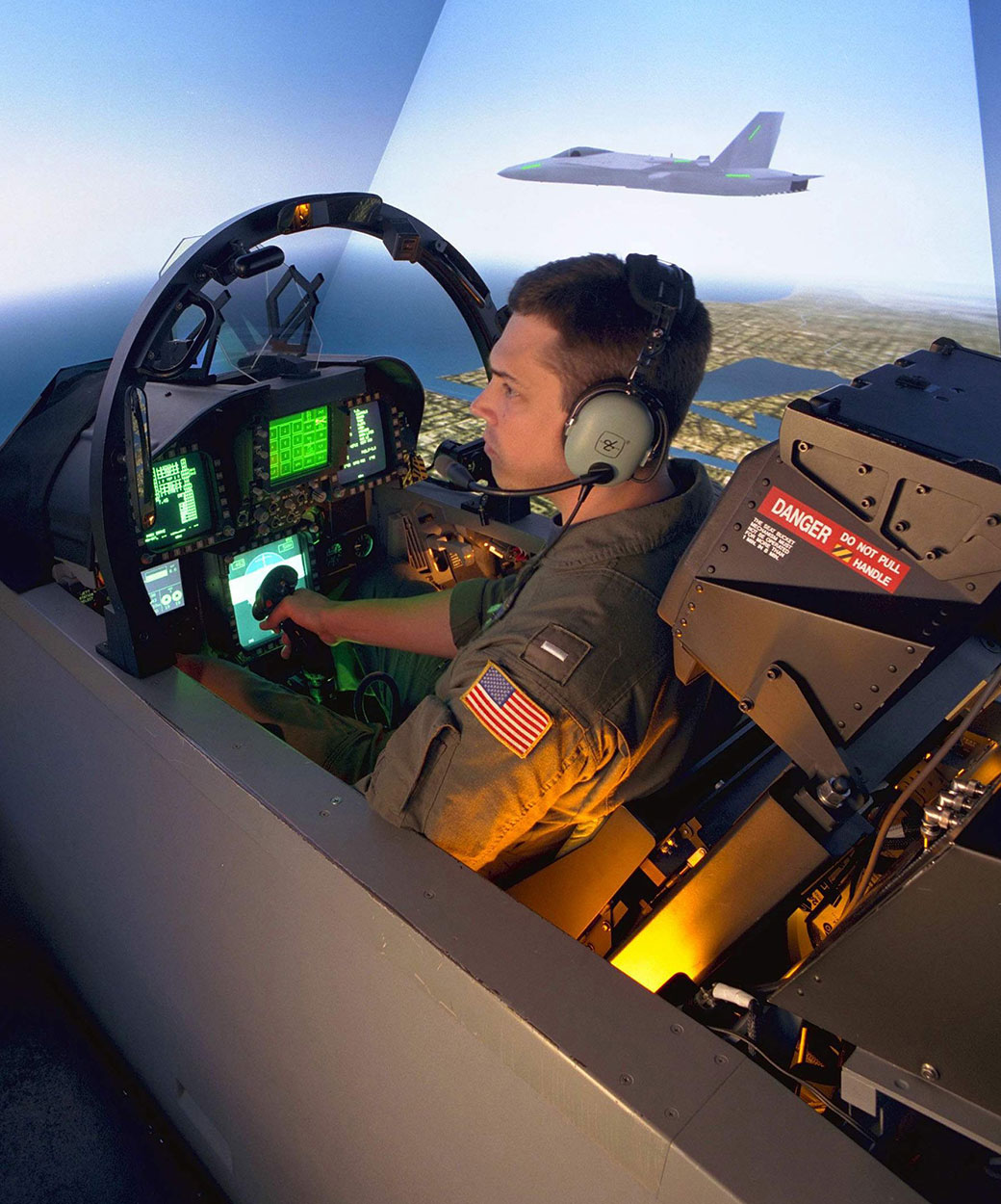
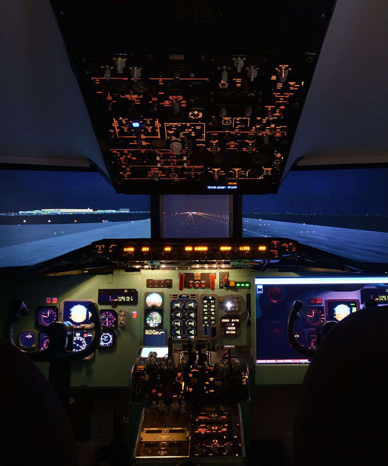
Providing pilots with comprehensive and real-world training by utilising realistic and reliable imagery and elevation data. This approach addresses and overcomes the diverse safety challenges in the aviation sector. It also enhances situational awareness and decision making skills, ultimately leading to more efficient flight operations.
Trust in the expertise of our team, much like Thales does, and benefit from our 30+ years of experience in the field. Our professionals will supply you with geospatial data that is precisely tailored to meet your specific needs and solutions.

Enrich your flight planning and real time aircraft navigation applications by incorporating professional geospatial data. Our accurate imagery and elevation data elevates the quality of flight planning.
This integration not only enhances overall efficiency for both private and professional pilots, but also provides critical information for a safe and secure flight experience.
Rely on our realistic satellite imagery basemaps and 3D elevation data, already used by more than 20,000 pilots in Air Navigation Pro application.
Beyond the unique quality of our data, we assist you, as a professional satellite imagery provider, throughout your project to ensure satisfaction and peace of mind. We guarantee you a hassle free experience!
Our strengths lie in our flexibility and responsiveness to meet your requirements, delivering tailored data for your projects consistently. Our philosophy is always putting the customer first.
Through firm dedication to R&D, coupled with our 30 years of experience, we stand as a trusted partner and supplier for leading companies situated in Europe, North America, and Japan.

The leading flight planning and real-time aircraft navigation app, used by thousands of pilots, embeds PlanetSAT basemap.
Read Case Study

Boeing chose PlanetObserver global imagery basemap for its flight simulation and training solutions.
Read Case Study
Leader in intelligent solutions for the global aerospace and defense industry, Collins uses PlanetDEM global elevation data in simulation solutions.

The Brazilian multinational aerospace manufacturer uses PlanetDEM global elevation data in its solutions.


The global high-tech pioneer for defence and security electronics embeds PlanetSAT imagery basemap in moving map, situational awareness and mission management systems and ERS simulators (Enhanced Reality Systems).

The global technology leader in the aerospace, defence, transportation and security sectors implements PlanetObserver products for flight simulation and mission preparation systems.
Read Case Study


