Capabilities of PlanetObserver – Part 4: Global Elevation Dataset
PlanetObserver showcases its skills in Global Elevation Data production.
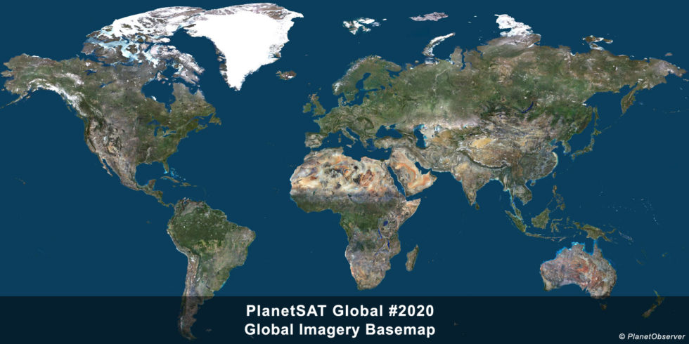
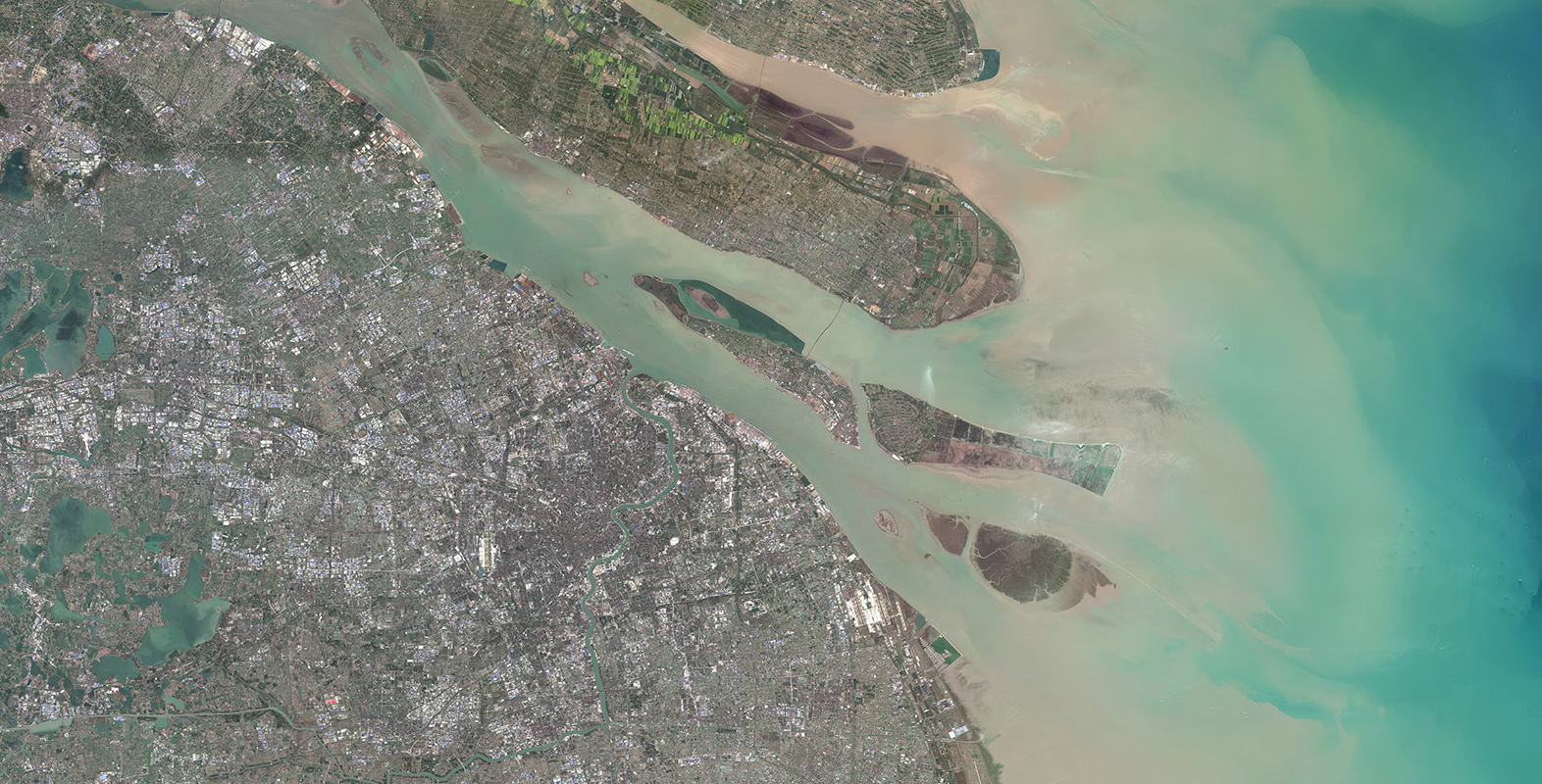
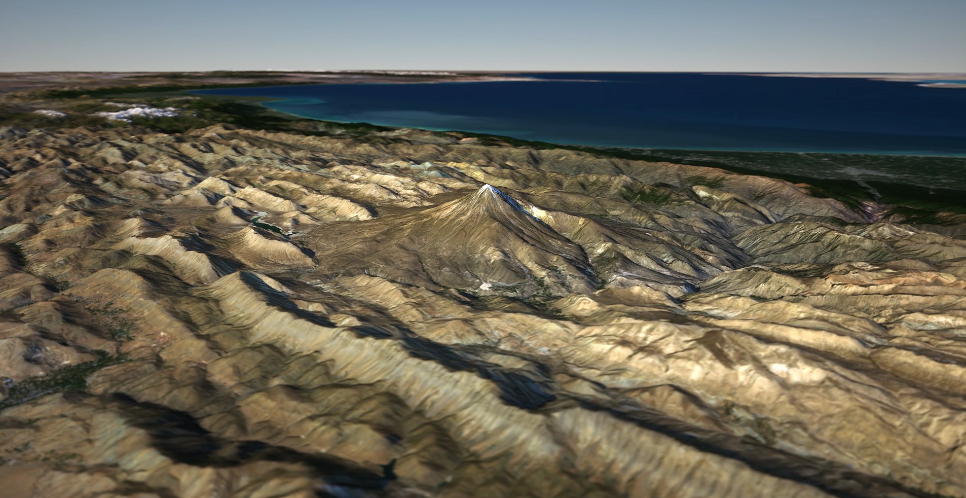
In the field of geospatial data, Digital Elevation Models (DEMs) provide critical insights into Earth’s topography. Among these, PlanetObserver offers a notable contribution with its PlanetDEM 30-meter Global Elevation Dataset.
In this fourth installment of our “PlanetObserver Capabilities” series, we focus on how PlanetObserver has developed PlanetDEM global elevation dataset, the expertise required and the targeted applications.
Understanding PlanetDEM Global Elevation Dataset
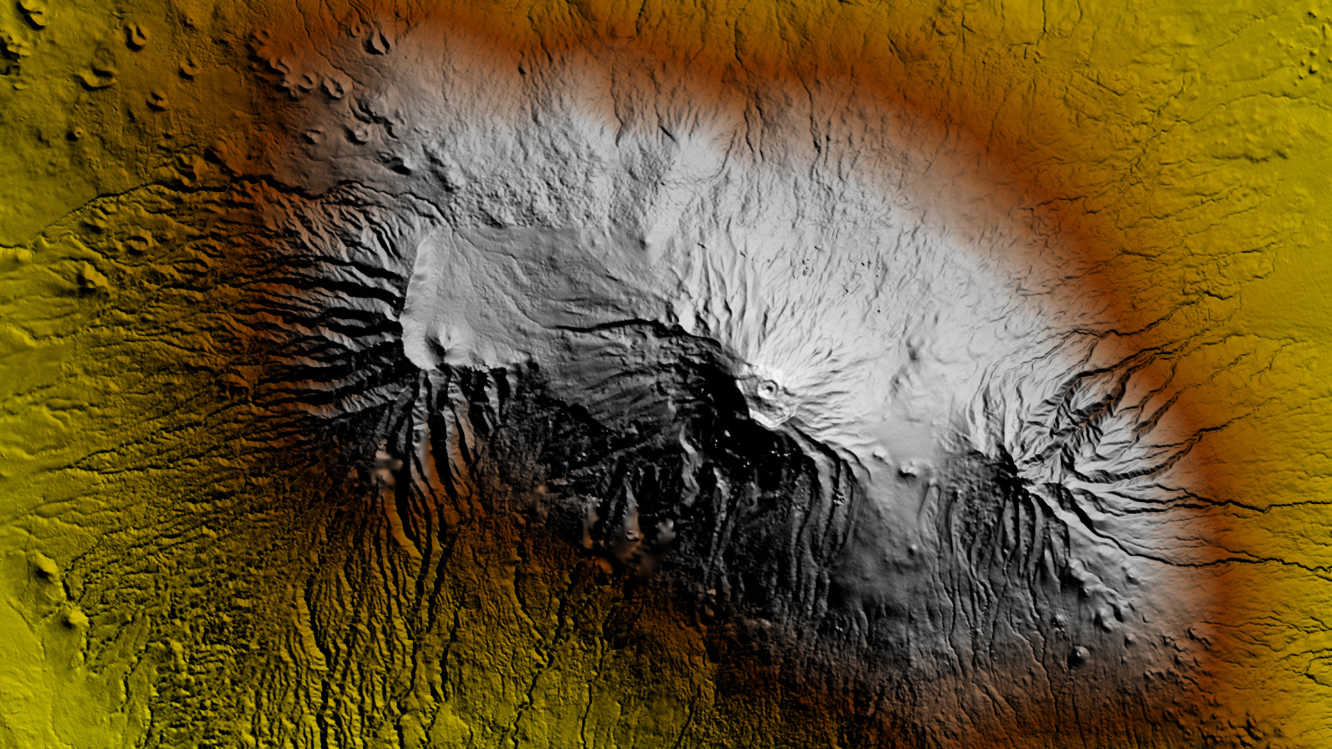
With a resolution of 1 arc second in latitude, which corresponds approximately to 30 meters per pixel at the equator, PlanetDEM is a Digital Surface Model (DSM), i.e. a representation of the Earth’s surface that includes both the terrain features (such as mountains, valleys, and rivers) and any overlying objects (such as buildings, vegetation, and infrastructure).
Derived from open-source elevation data meticulously processed by PlanetObserver, this global elevation dataset is engineered to offer accurate elevation information spanning the entire globe. PlanetDEM is primarily based on the ALOS World 3D-30m (AW3D30) data from JAXA, corrected with NASADEM data released in 2020 by the NASA, and PlanetDEM 30 Plus from PlanetObserver, to ensure improved quality and accuracy.
The Production Process: Behind the Scenes
When it comes to creating a robust global elevation dataset like PlanetDEM, meticulous production steps play a crucial role in ensuring accuracy and reliability. Let’s explore the key production steps involved in crafting this major resource.
Step 1 – Data Correction
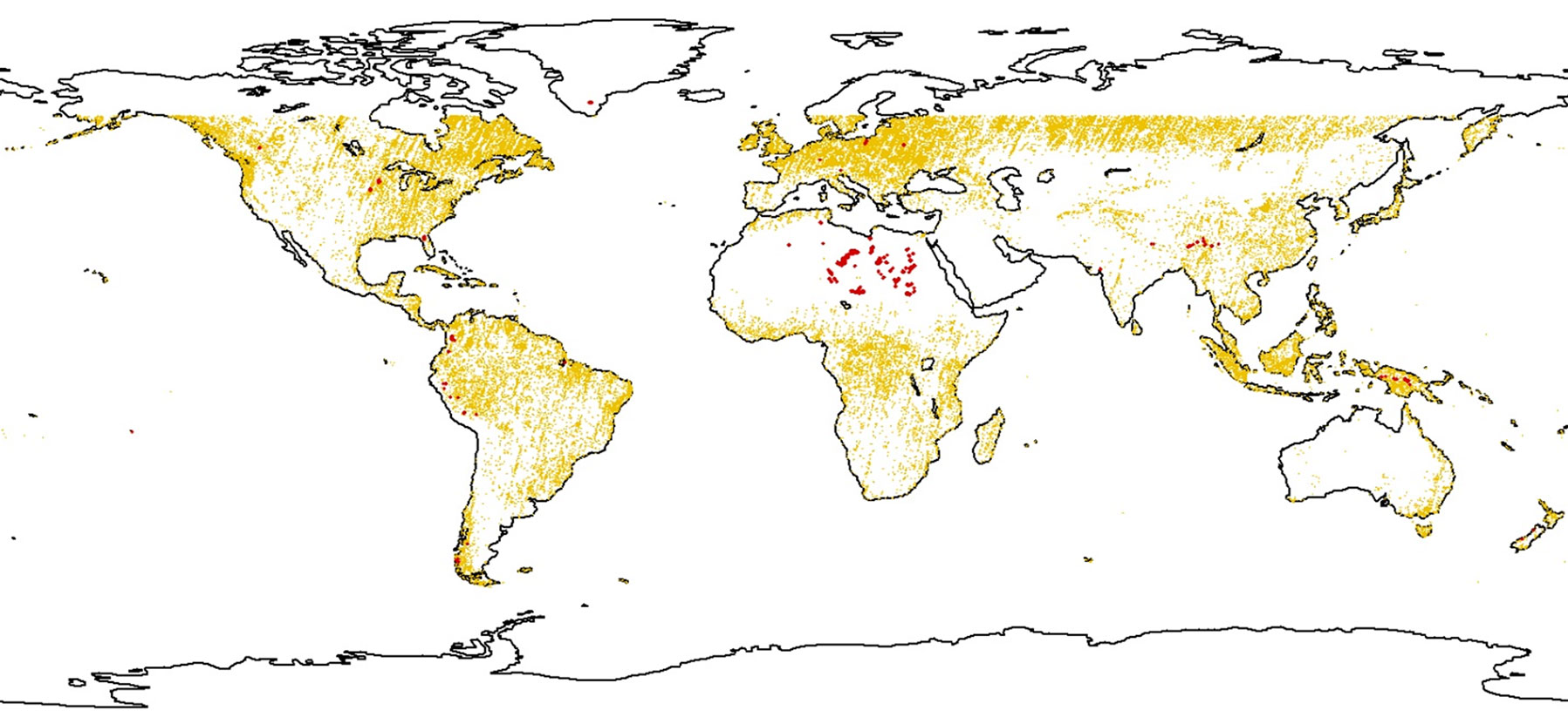
The first phase focuses on rectifying imperfections within the source data, starting with the detection and removal of spikes and holes. These anomalies, often caused by low correlation between AW3D30 images, are identified through a semi-automated process. Utilizing sophisticated algorithms, spikes and holes are pinpointed and excluded, with consideration given to factors like slope and land cover characteristics.
Addressing artefacts induced during the processing of AW3D30 source data forms the subsequent stage. This process demands human expertise gained through the production of PlanetDEM 30 Plus elevation data. Drawing from the technical know-how of PlanetObserver’s team and auxiliary layer information, anomalies and outliers are meticulously identified and rectified.
The processing journey continues with the detection of empty zones in the source data. Artefacts identified are masked and assigned specific values, ensuring seamless integration into the elevation model. Empty areas are then filled using auxiliary data like NASADEM and PlanetDEM 30 Plus, employing the DSF (Delta Surface Fill) method to maintain data integrity.
Notably, 35.5% of tiles in the AWD30 base source are corrected by PlanetObserver, transforming open-source data into a dependable resource. The image below shows in yellow and red all corrected areas in PlanetDEM 30m elevation dataset.
Step 2 – Quality Control
Ensuring the dataset’s completeness and accuracy is paramount, driving the quality control steps applied to PlanetDEM. This phase includes meticulous checks on statistical and visual likelihood, alongside verification of the dataset’s statistical mean against the AW3D base source data.
By applying these production and quality control processes, PlanetObserver maintains the integrity and reliability of PlanetDEM global elevation dataset, providing users with accurate global elevation data for a large range of applications.
Key Features of PlanetDEM
- 30m Global Resolution: PlanetDEM offers elevation data at a spatial resolution of 30 meters per pixel, facilitating in-depth analysis of terrain and topographic features.
- Global Coverage: Spanning the entire globe, PlanetDEM provides comprehensive coverage, making it invaluable for applications across all regions.
- Reliable Data: PlanetDEM undergoes meticulous correction processes to enhance the integrity of the dataset. This commitment to accuracy ensures that users can trust PlanetDEM for informed decision-making and precise analysis.
Applications of PlanetDEM: Practical Use Cases
PlanetDEM’s versatility extends across a large range of industries, providing valuable insights and supporting informed decision-making across various domains. Here are just a few examples of how PlanetDEM global elevation dataset is utilized:
1. Flight Simulation & Training:
PlanetDEM’s accurate elevation data is essential for both civil and military flight simulation systems, providing the detailed terrain needed to create realistic environments. This data is perfect for Full Flight Simulators (FFS), where precision and reliability are critical for simulating authentic flight scenarios.

2. Military Mission Planning:
PlanetDEM plays a crucial role in Command, Control, Communications, Computers and Intelligence (C4I) solutions by providing accurate elevation data essential for mission planning and management.
This global elevation dataset enables macro visualization of large theaters of operation (TO), allowing military planners to effectively strategize and manage missions. PlanetDEM’s reliable terrain data enhances the capability of C4I systems to deliver precise situational awareness, ensuring that mission planning and management are conducted with a high level of accuracy and confidence.

3. GIS and Mapping Platforms:
In the world of mapping and geospatial analysis, PlanetDEM serves as a fundamental dataset for creating detailed maps and conducting terrain analysis. Its high-resolution elevation data enhances the precision of mapping platforms, enabling users to visualize terrain features with clarity. By leveraging PlanetDEM, professionals can make more informed decisions and achieve better outcomes in their projects.
Key Users of PlanetDEM
Leading aerospace and technology companies rely on PlanetDEM to power their innovative solutions. Some notable users include:
- Collins Aerospace
- Dassault Aviation
- Embraer
- General Dynamics
- Microsoft
- Sogitec
Capabilities and Expertise in Elevation Data
To ensure the accuracy and reliability of the global elevation dataset, PlanetObserver’s team has leveraged its deep understanding of geospatial data processing techniques, including data correction and quality control methodologies. This expertise has enabled us to effectively identify and rectify anomalies within the elevation data. Indeed, the production of PlanetDEM involved complex data processing tasks, including the detection and removal of spikes, holes, and artefacts. Our team has proved his skills in utilizing advanced algorithms and software tools to execute these processes accurately.
In conclusion, this exploration into PlanetObserver’s capabilities highlights the development and significance of the PlanetDEM global elevation dataset. Through meticulous expertise and rigorous quality control measures, PlanetObserver continues to provide essential geospatial solutions, providing industries worldwide with accurate and reliable elevation data for diverse applications.