Medium Resolution Geospatial Data Benefiting the Defense Industry
Why high resolution data and open-source data are not always ideal for MODs or companies in the defense industry.
Maximizing Efficiency in Defense: Choosing the Right Geospatial Data for Optimal Performance
In the defense sector, efficiency is key. To achieve outstanding results and meet customer demands, companies must carefully select their partners, equipment, and machinery. The same principle applies to the satellite imagery and elevation data used for mission planning, territory analysis, and global visualization.
However, many defense companies make the mistake of overspending on high-resolution geospatial data, often spending hundreds of thousands of dollars needlessly. The solution is to understand that lower resolution geospatial data can meet their needs at a fraction of the cost. In the case of flight simulation, medium resolution satellite imagery and corrected elevation datasets often provide more than enough realism.
Open-source data may seem like an attractive option for budget-conscious companies, but it is not a viable choice in the defense sector. This data is not secure, lacking support and maintenance. Furthermore, open-source data is available « as is » and has only been corrected by the space agencies providing it. However, these corrections may not be complete, making it impossible to trust for use in the defense sector.
To achieve optimal performance and maximize efficiency in the defense sector, it is essential to choose the right geospatial data that balances cost and security considerations.
Comparing Elevation Data Solution for Defense: Open-source DEMs vs PlanetDEM
The defense sector requires accurate and reliable elevation data to carry out missions and analyze territories. Open-source Digital Elevation Models (DEMs) may seem like a cost-effective option, but they come with several limitations. Firstly, open-source data may contain many artefacts that render it non-qualitative and unreliable. Secondly, open-source data may need processing, which requires high technical expertise and is time-consuming.
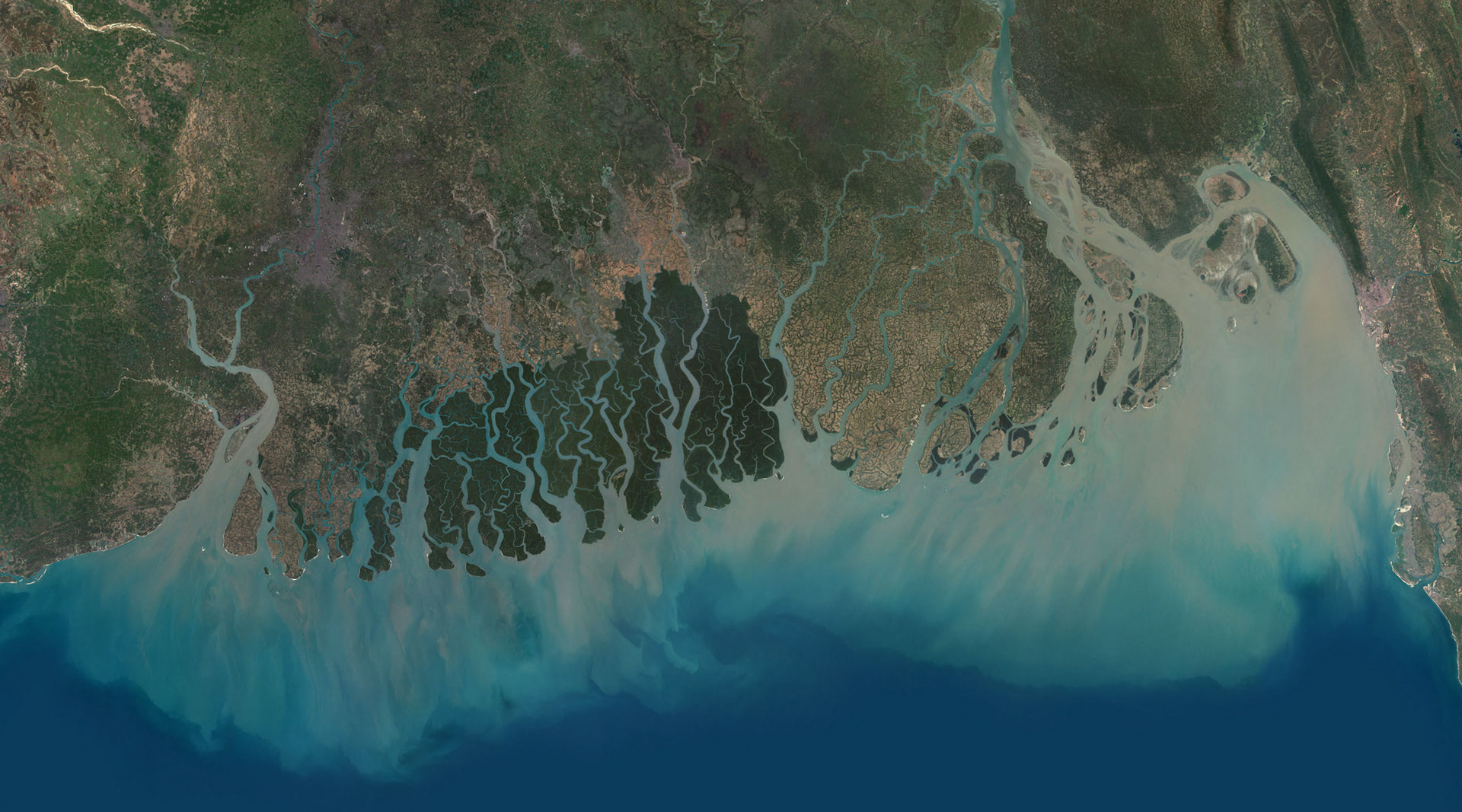
In contrast, PlanetObserver offers PlanetDEM, a reliable and global digital elevation model. With a resolution of 30 meters, based primarily on the ALOS World 3D-30m (AW3D30) dataset, PlanetDEM has been thoroughly enhanced and corrected to ensure the highest level of accuracy and reliability. The dataset is available off-the-shelf in military standard formats. Moreover, PlanetObserver offers full support and can adapt its products to the specific needs of its military clients. With quick delivery times, PlanetObserver’s elevation product is an ideal solution for the fast-paced and evolving needs of the defense sector.
Choosing the Right Imagery Solution: The Benefits of Ready-to-Use Medium Resolution Basemap Over Open-Source Imagery
Open source 10m or 15m unprocessed imagery can be a tempting option for those looking to save on costs. However, it is important to note that this type of raw imagery may come with limitations and potential challenges. Unprocessed imagery requires technical expertise and significant processing time, which could delay projects and add unnecessary burden to the workflow. In contrast, a ready-to-use global imagery basemap, such as PlanetSAT basemap offering a 10-meter resolution, provides an efficient solution that eliminates these issues. With an accurate baseline, MODs and companies in the defense sector can trust the data they are using and integrate it quickly into their systems without any additional effort or delay. The added benefit of quick delivery and support from a trusted provider is also a key factor in choosing a ready-to-use global imagery basemap.
In conclusion, it is crucial for MODs and defense companies to consider the reliability and suitability of their geospatial data before making a decision. Open-source data may not always be the best option, given their limitations such as lack of support, unreliability, poor security and limited documentation. High resolution data can often be unnecessarily costly and may not be necessary for all use cases, especially when more cost-effective solutions may be preferable. On the other hand, PlanetObserver’s PlanetDEM elevation dataset and PlanetSAT imagery basemap offer a comprehensive solution that provides reliable, accurate, and customizable geospatial data. With expert support and quick delivery times, these products are a valuable option for defense companies looking for fast, efficient and secure data.
For more information click here or contact us.