


Meet the Team - Episode 4: Laurent’s Passion for Geospatial Projects
In the 4th episode of our « Meet the Team » series, we learn more about our CEO Laurent and his passion for Geospatial Projects.
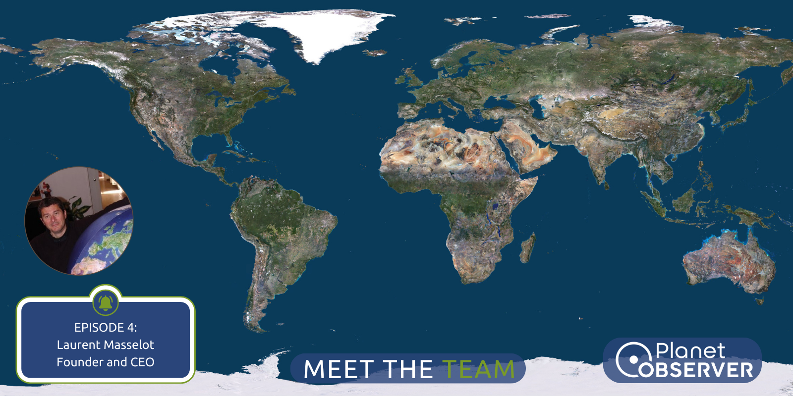
Interview 4: Laurent
Meet Laurent Masselot, the visionary founder and CEO of PlanetObserver, whose journey represents a fusion of innovation and expertise in geospatial projects. With a profound background in Geosciences, Laurent started his mission 35 years ago, helping transform the accessibility and realism of geospatial data. In this interview, Laurent shares insights into his entrepreneurial journey, the inspiration behind PlanetObserver, and exciting initiatives the future holds.
1. In a few words, who is Laurent Masselot?
Hello, I’m Laurent Masselot, an entrepreneur driven by creativity and a deep passion for innovation. My academic background in Geosciences provided the framework for the rest of my journey. Over three decades ago, I founded PlanetObserver, a company dedicated to providing high-quality geospatial data to a variety of sectors.
2. What inspired you to start PlanetObserver?
In 1989, as a geologist, I found the scientific satellite imagery mosaics of any region lacking in realism for broader uses. I saw this as an opportunity to bridge this gap by making them more visually appealing, realistic, and available for everyone. This led me to establish PlanetObserver – a company focused on combining research, technology, and artistry to present our Earth accurately and beautifully through geospatial projects.
3. What are the key characteristics and qualities of your team?
Our team consists of experienced professionals in technical, business development, and marketing fields, bringing extensive industry expertise. We also welcome enthusiastic apprentices who inject fresh perspectives and academic knowledge into our company. Collaboration is at the heart of our team culture, with members having strong communication skills, alongside a dedication to ongoing learning and development. We highly value creativity, adaptability, and problem-solving skills among our team members, as these qualities drive innovation and success within our dynamic environment and industry.
4. Who were your biggest clients and partners for your geospatial projects?
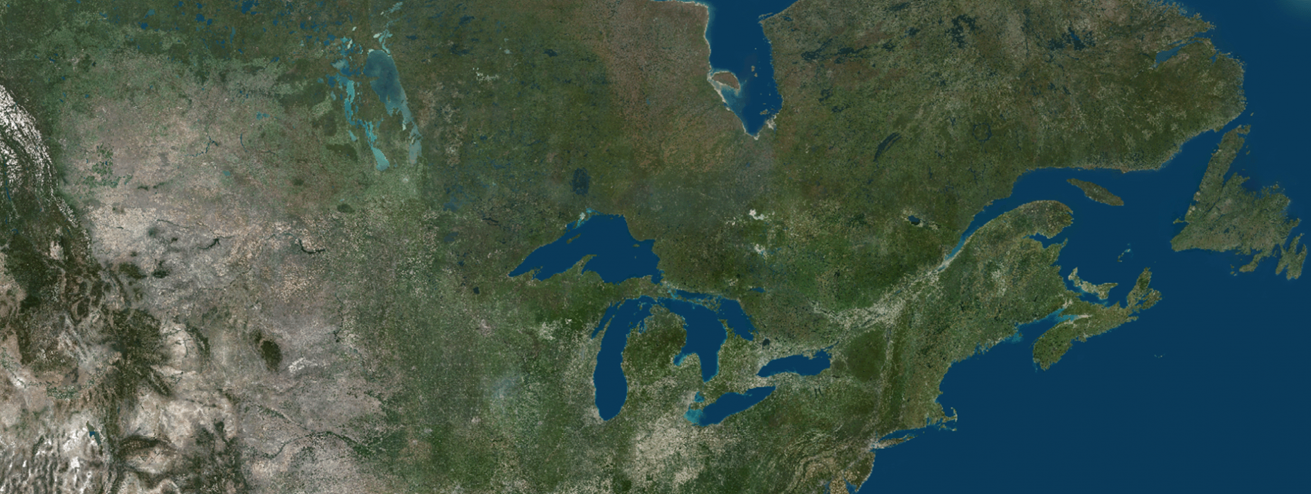
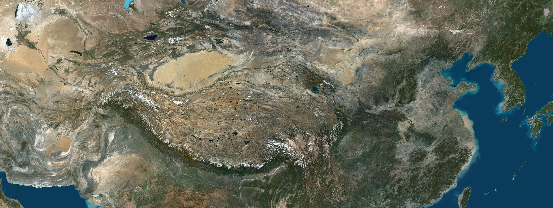
At PlanetObserver, we’ve been privileged to serve major clients such as Dassault, Microsoft, and Thales, spanning industries like flight simulation, mapping, and defense and intelligence. Our strategic partnerships with industry leaders like Airbus and OnyxSpace have further strengthened our position in the geospatial domain. I’m proud that our PlanetSAT Imagery Basemap and PlanetDEM Elevation Data have become important tools for renowned organizations worldwide, constantly being used across their geospatial projects.
5. What milestones or achievements are you most proud of as PlanetObserver’s CEO?
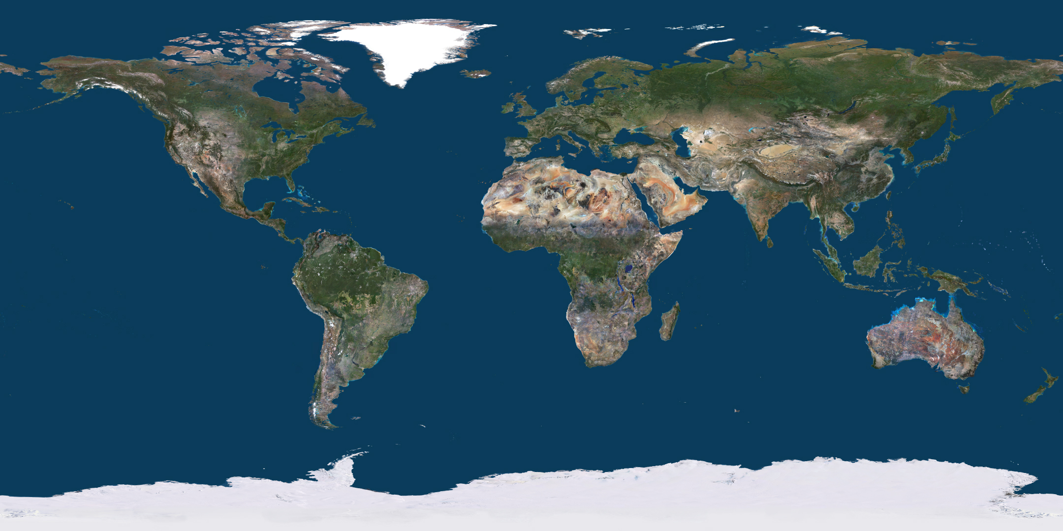
One of the most significant milestones for me was achieving the production of the first full-colored mosaic of an entire country, France, in 1994. This marked an important advancement in geospatial technology and remains a source of immense pride.
Another pivotal moment was the establishment of the first-ever website for online map streaming in the year 2000, created five years before the introduction of Google Earth.
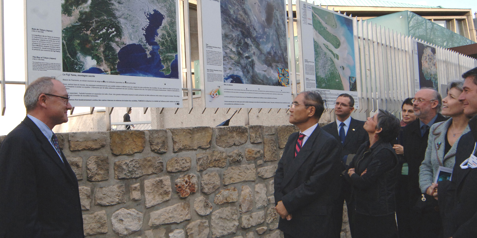
Additionally, I’m proud of different prominent partnerships and events organized in collaboration with esteemed organizations such as the European Space Agency (ESA), French Space Agency (CNES) and UNESCO. Notably, our involvement in UNESCO’s 60th anniversary celebrations with impactful geospatial projects reflects our commitment to collaborating with globally influential associations.
6. Can you discuss any upcoming initiatives or projects that PlanetObserver is particularly excited about?
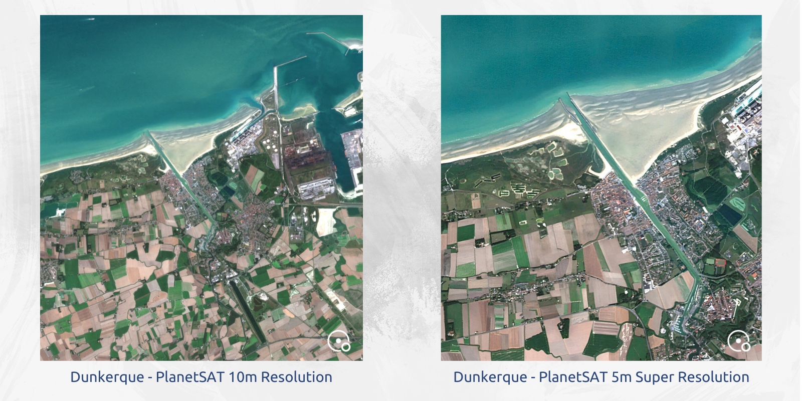
In the coming weeks, we’re thrilled to unveil the latest one of our geospatial projects: a comprehensive imagery basemap of France in 5-meter super resolution, processed from our 10-meter Sentinel-2 mosaic. This innovative basemap will portray higher definition imagery offering enhanced details, all made possible by the integration of Artificial Intelligence technology.
Beyond our ongoing geospatial projects, we’re working on a significant diversification project that will hold new possibilities for us. This venture will lead us into the world of luxury—stay tuned for more news about this project, coming soon.
As we wrap up our final interview with Laurent, we would firstly like to thank the PlanetObserver team for their valuable contributions to this series. Laurent’s journey serves as a powerful demonstration to the significance of passion-driven professional adventures, and the transformative impact of aligning personal vision with professional pursuits.
Let's talk
Ready to enhance your project with high-quality geospatial data?
Talk to our team to get started.
